Wommen Viaduct

Gallery (1)
Map
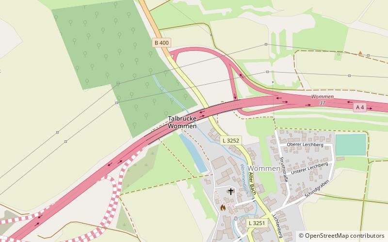
Map
Facts and practical information
The Wommen Viaduct is an arch bridge built between 1938 and 1940 near Wommen, Germany, as part of the Reichsautobahn system. It is a 26.5 metres tall and 303.8 metres long motorway bridge on the Bundesautobahn 4. Because of World War II, it was left half-finished, and because of the German division the one completed side was closed until 1990. After German reunification, it was completed in 1993 with a new bridge for the second lane. ()
Day trips