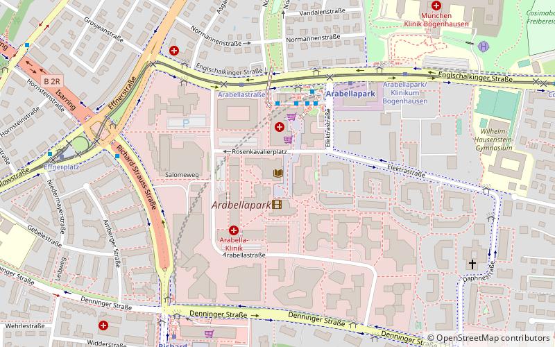
Arabellapark, Munich
Map

Map

Facts and practical information
Arabellapark is a residential and commercial area in the Bogenhausen district of Munich, Germany, which was developed with the construction of multiple buildings from 1965 to 1998. It is one of the largest urban expansion projects of the period after World War II in Munich. It takes its name from the Arabellastrasse, which runs through the project site. ()
Address
Rosenkavalierplatz 15Bogenhausen (Parkstadt)Munich
ContactAdd
Social media
Add
Day trips
Arabellapark – popular in the area (distance from the attraction)
Nearby attractions include: Wiener Markt, Friedensengel, Museum Villa Stuck, Maximilianeum.
Frequently Asked Questions (FAQ)
Which popular attractions are close to Arabellapark?
Nearby attractions include Hypo-Haus, Munich (5 min walk), Mae West, Munich (7 min walk), Bogenhausen, Munich (8 min walk).
How to get to Arabellapark by public transport?
The nearest stations to Arabellapark:
Bus
Tram
Metro
Bus
- Arabellapark • Lines: 150, 183, 184, 185, 187, X30 (3 min walk)
- Arabellapark Nord • Lines: 150, 154, 183, 187, N72 (4 min walk)
Tram
- Arabellastraße • Lines: 16, 37 (4 min walk)
- Effnerplatz • Lines: 16, 37, N17 (8 min walk)
Metro
- Arabellapark • Lines: U4 (5 min walk)
- Richard-Strauss-Straße • Lines: U4 (8 min walk)


