Taubenklippe, Harz National Park
Map

Map

Facts and practical information
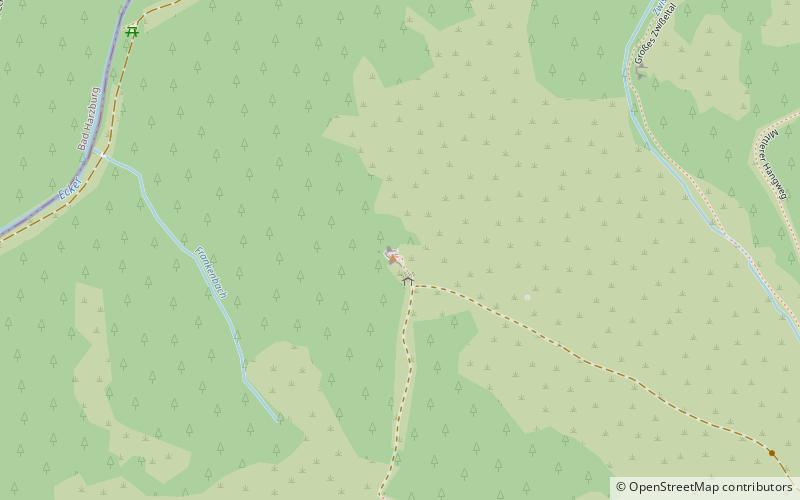
The Taubenklippe is a rock formation in the Harz mountains in the German state of Saxony-Anhalt. It lies about halfway between Bad Harzburg and Ilsenburg at a height of 572 m above NN on the eastern slopes of the Ecker valley. From the crag there is a good view over Harz Foreland, the heights near Bad Harzburg and the highest mountain in the Har, the Brocken. The Taubenklippe may be reached from the Ecker valley on a footpath, some 6 km long, that starts in Ilsenburg. ()
Address
Harz National Park
ContactAdd
Social media
Add
Day trips
Taubenklippe – popular in the area (distance from the attraction)
Nearby attractions include: Harzburg, Ilsestein, Rabenklippe, Spielbank.
Frequently Asked Questions (FAQ)
Which popular attractions are close to Taubenklippe?
Nearby attractions include Ahlsburg, Harz National Park (11 min walk), Rabenklippe, Harz National Park (15 min walk).
How to get to Taubenklippe by public transport?
The nearest stations to Taubenklippe:
Bus
Bus
- Rabenklippe • Lines: 875 (18 min walk)


