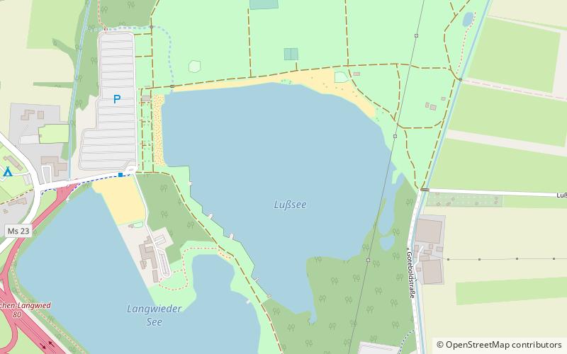
Lußsee, Munich

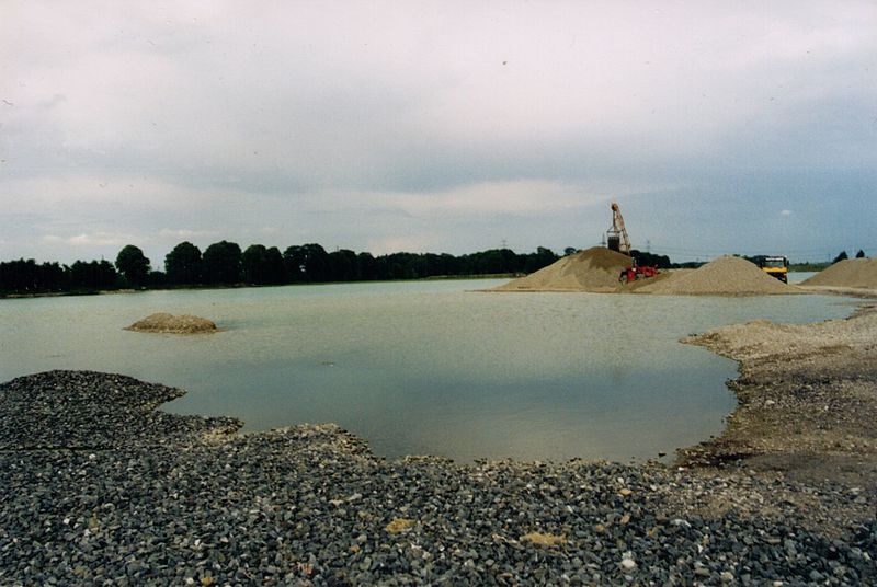
Gallery (3)
Map
Map
Gallery
Facts and practical information
The Langwieder lake district is composed of three lakes west of Munich in Bavaria, Germany. It opened in the year 2000 as a recreational area enclosing the Langwieder See, the Lußsee, and the Birkensee. The entire site spans 120 hectares; 40 of which are the lakes and 80 are land; 27 hectares of which are lawns for sunbathing. ()
Getting there by public transportation
Public transportation stops near this location
- Bus
 Bus
Bus
- Calculate routeAugustenfelder Straße 30 min walk
Day trips


Frequently Asked Questions (FAQ)
How to get to Lußsee by public transport?
The nearest stations to Lußsee:
Bus
Bus
- Augustenfelder Straße • Lines: 164 (30 min walk)