Brogberg

Map
Facts and practical information
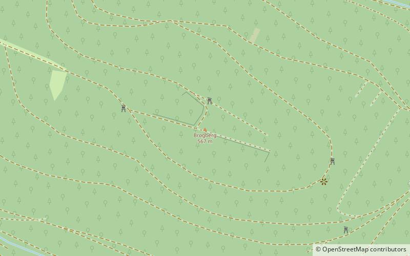
The Brogberg is a hill, 567 metres high, in the Palatine Forest in Germany. It is located west of Iggelbach, a village in the municipality of Elmstein. Northeast of the hill rises the Iggelbach stream, a left tributary of the Helmbach. The Brogberg lies entirely within the territory of the municipality of Elmstein. ()
Location
Rhineland-Palatinate
ContactAdd
Social media
Add
Day trips
Brogberg – popular in the area (distance from the attraction)
Nearby attractions include: Luitpoldturm, Helmbachweiher, Erfenstein Castle, Brushmakers' Museum.


