Hohler Berg, Wiesenttal


Facts and practical information
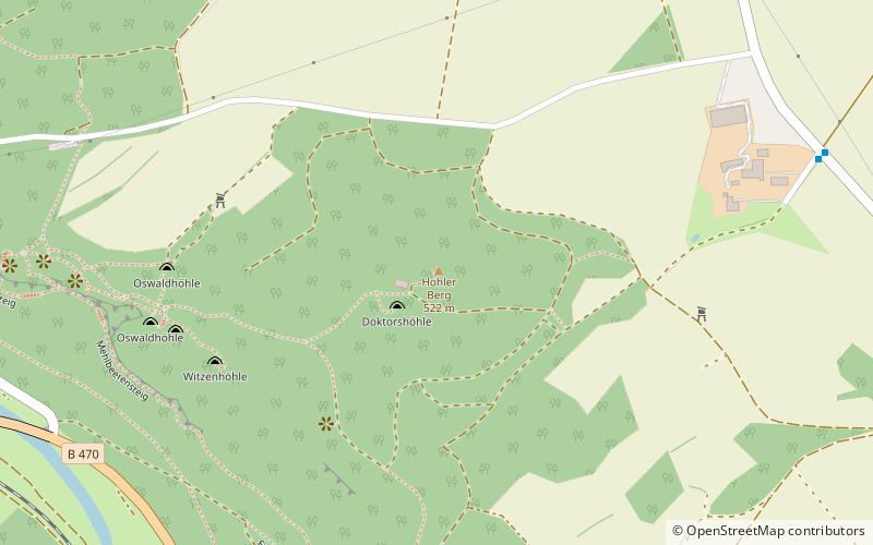
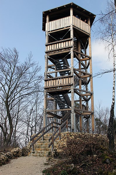
Hohle Berg, also known as Hohes Kreuz, is a 522.6 m above sea level mountain north of the Wiesenttal valley between the Wiesenttal districts of Muggendorf and Engelhardsberg. At the highest point of the mountain is a hexagonal steel and timber tower with a height of twelve meters, built in 2011 and inaugurated on April 15, 2011. This was built to replace an older tower. There is also a mobile phone mast near the summit.
The name of the mountain is derived from the numerous caves in the mountain. Significant caves are the Oswald Cave, Wundershöhle, Doktorshöhle and Witzenhöhle. The Doctor's Cave is located in the immediate vicinity of the summit.
Wiesenttal
Hohler Berg – popular in the area (distance from the attraction)
Nearby attractions include: Binghöhle, Neideck Castle, Gößweinstein Castle, Rabeneck.


