Rittmannshagener See
Map

Map

Facts and practical information
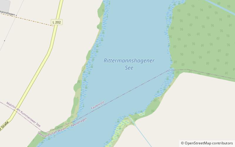
Rittmannshagener See is a lake in the Mecklenburgische Seenplatte district in Mecklenburgische Seenplatte, Mecklenburg-Vorpommern, Germany. At an elevation of 31.9 m, its surface area is 0.482 km². ()
Local name: Rittermannshagener See Area: 119.1 acres (0.1861 mi²)Elevation: 95 ft a.s.l.Coordinates: 53°36'51"N, 12°45'35"E
Location
Mecklenburg-West Pomerania
ContactAdd
Social media
Add
Day trips
Rittmannshagener See – popular in the area (distance from the attraction)
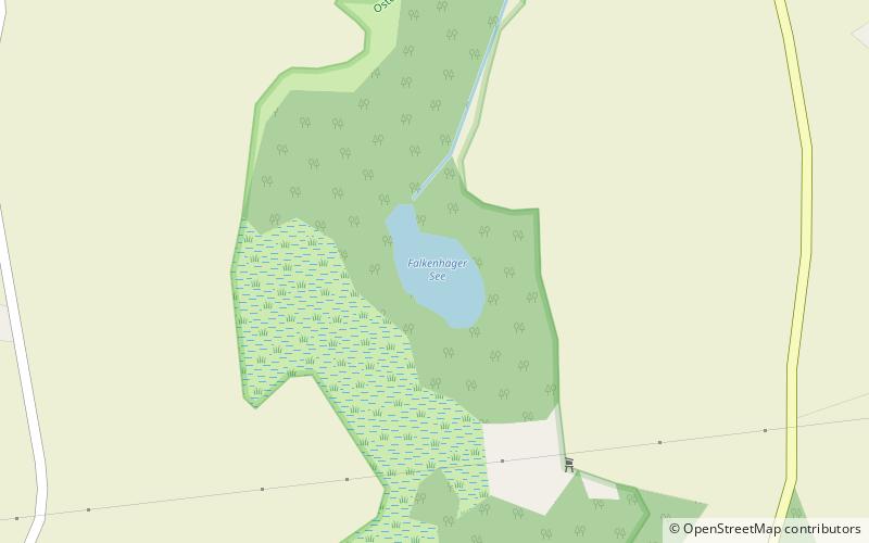
Nearby attractions include: Großer Varchentiner See, Torgelower See, Kirche Schloen, Falkenhäger See.


