St. Alban's Abbey, Mainz

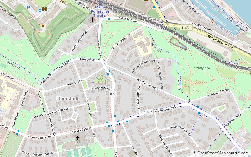
Map
Facts and practical information
St. Alban's Abbey, Mainz originated as a Benedictine abbey, founded in 787 or 796 by Archbishop Richulf in honour of Saint Alban of Mainz, located to the south of Mainz on the hill later called the Albansberg. It was turned into a collegiate foundation in 1442. The buildings were entirely destroyed in 1552, although the foundation retained a legal existence until its formal dissolution in 1802. ()
Local name: Stift St. Alban vor Mainz Architectural style: Romanesque architectureCoordinates: 49°59'24"N, 8°16'48"E
Address
Mainz
ContactAdd
Social media
Add
Day trips
St. Alban's Abbey – popular in the area (distance from the attraction)
Nearby attractions include: Mainz Cathedral, Mainz Citadel, Osteiner Hof, St. Stephan.
Frequently Asked Questions (FAQ)
Which popular attractions are close to St. Alban's Abbey?
Nearby attractions include City park, Mainz (7 min walk), Museum für Antike Schifffahrt, Mainz (7 min walk), Drususstein, Mainz (8 min walk), Mainz Citadel, Mainz (10 min walk).
How to get to St. Alban's Abbey by public transport?
The nearest stations to St. Alban's Abbey:
Bus
Train
Tram
Bus
- Ritterstraße • Lines: 64, 65, 66, 93 (2 min walk)
- Hechtsheimer Straße • Lines: 62, 64, 65, 66, 76, 92, 93 (4 min walk)
Train
- Mainz Römisches Theater (7 min walk)
- Mini-Eisenbahn, Haltepunkt (13 min walk)
Tram
- An der Philippsschanze • Lines: 50, 52, 53 (16 min walk)
- Am Gautor • Lines: 50, 52, 53 (17 min walk)


