Litberg
Map

Map

Facts and practical information
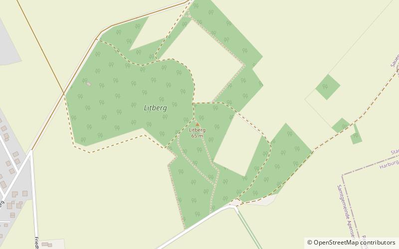
The Litberg is, at 65 metres above sea level, the highest point in the district of Stade, Germany. It lies about 2.5 kilometres south of Beckdorf in the municipality of Sauensiek. The Litberg is small hill covered with birch, pine, willow and alder, which was formed from an Ice Age moraine. It forms a protected area on the geest west of the Harburg Hills. ()
Location
Lower Saxony
ContactAdd
Social media
Add
Day trips
Litberg – popular in the area (distance from the attraction)
Nearby attractions include: Moisburg Mill Museum, Hollenstedt, Eissporthalle Harsefeld, Heidenau.


