Trek Zone

Rhein-Nahe, Sprendlingen
#1 among attractions in Sprendlingen

Sightseeing
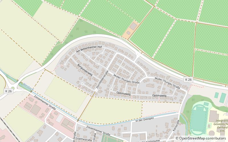
Rhein-Nahe location map
Map

Facts and practical information

Local name: Verbandsgemeinde Rhein-Nahe Coordinates: 49°52'0"N, 7°58'60"E
Address

Sprendlingen Germany

Contact
Social media
Add
Day trips

Rhein-Nahe – popular in the area (distance from the attraction)

Nearby attractions include: Neu-Baumburg Castle, Alte Nahebrücke, Jakobsberg Priory, Jüdische Kultusgemeinde.

  • neu baumburg castle5.4 miSW
  • alte nahebrucke bad kreuznach5.8 miW
  • jakobsberg priory gau algesheim4.8 miN
  • judische kultusgemeinde bad kreuznach5.2 miSW
  • heilig kreuz kirche bad kreuznach5.6 miW
  • flonheim6.1 miSE
  • turm der ehem wilhelmskirche bad kreuznach5.8 miW
  • gensingen location map
    3.3 miNW
  • welgesheim1.4 miNW
  • schwabenheim6.7 miNE
  • mahnmal feld des jammers bretzenheim4.2 miW

Where to next? Visit rhineland palatinate Rhineland-Palatinate region page or discover the top tourist attractions in Germany.