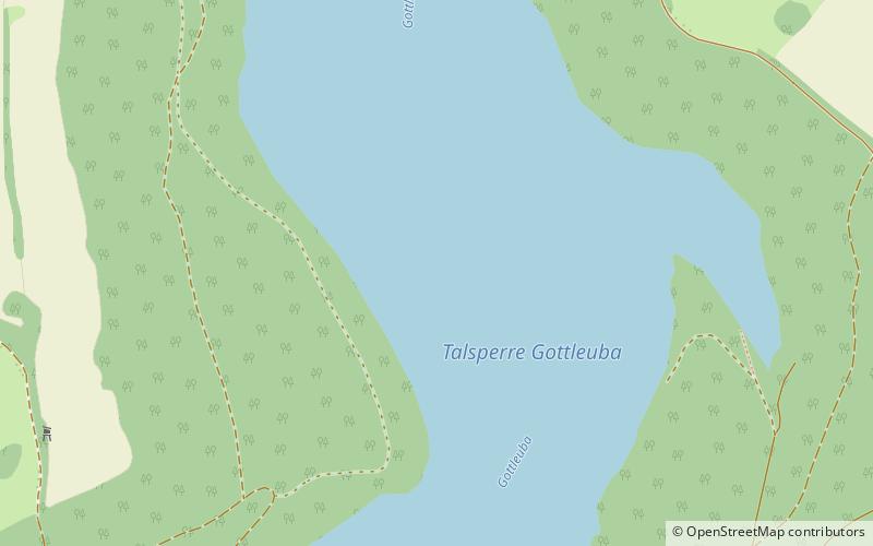
Talsperre Gottleuba
Map

Map

Facts and practical information
The Gottleuba Dam is the second highest dam in Saxony, Germany. It serves as a reservoir for water supply for the town Pirna and provides flood protection, but energy production is small. The dam was built between 1965 and 1974. It is located at the northern foot of the Erzgebirge, southwest of Bad Gottleuba. It dams up the Gottleuba river. ()
Day trips
Talsperre Gottleuba – popular in the area (distance from the attraction)
Nearby attractions include: Augustusberg, Cottaer Spitzberg, Besucherbergwerk Marie Louise Stolln, Schloss Kuckuckstein.


