Pestalozzischule, Ingelheim

Gallery (1)
Map
Map
Facts and practical information
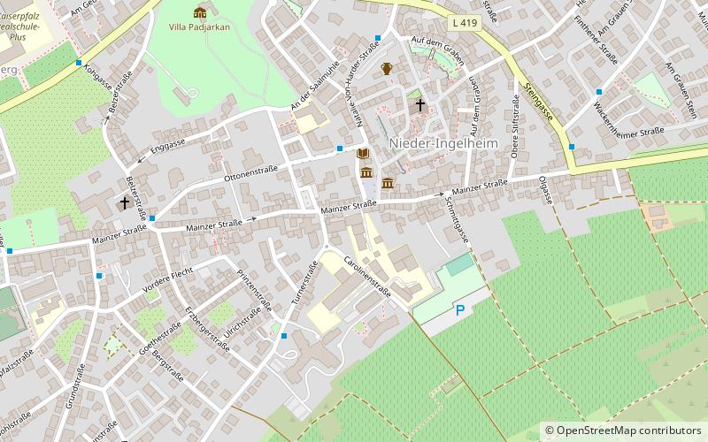
Pestalozzischule (address: 68 Mainzer Straße) is a place located in Ingelheim (Rhineland-Palatinate state) and belongs to the category of sightseeing.
It is situated at an altitude of 453 feet, and its geographical coordinates are 49°58'34"N latitude and 8°4'15"E longitude.
Planning a visit to this place, one can easily and conveniently get there by public transportation. Pestalozzischule is a short distance from the following public transport stations: Kohgasse (bus, 9 min walk), Ingelheim am Rhein (train, 20 min walk).
Among other places and attractions worth visiting in the area are: Old Town Hall (museum, 2 min walk), Jewish Cemetery (cemetery, 3 min walk), Archäologischer Schutzbau (ruins, 3 min walk).
Coordinates: 49°58'34"N, 8°4'15"E
Address
68 Mainzer StraßeIngelheim
ContactAdd
Social media
Add
Getting there by public transportation
Public transportation stops near this location
- Bus
- Train
 Bus
Bus
- Calculate routeKohgasse 9 min walk
- Calculate routeWinzerkeller, Friedhof 11 min walk
- Calculate routeStarenweg 11 min walk
- Calculate routeIngelheim am Rhein 20 min walk
Day trips


Frequently Asked Questions (FAQ)
Which popular attractions are close to Pestalozzischule?
Nearby attractions include Old Town Hall, Ingelheim (2 min walk), Jewish Cemetery, Ingelheim (3 min walk), Archäologischer Schutzbau, Ingelheim (3 min walk), Aula Regia, Ingelheim (3 min walk).
How to get to Pestalozzischule by public transport?
The nearest stations to Pestalozzischule:
Bus
Train
Bus
- Kohgasse • Lines: 620 (9 min walk)
- Winzerkeller, Friedhof • Lines: 620 (11 min walk)
Train
- Ingelheim am Rhein (20 min walk)