Hohenheim, Stuttgart

Gallery (1)
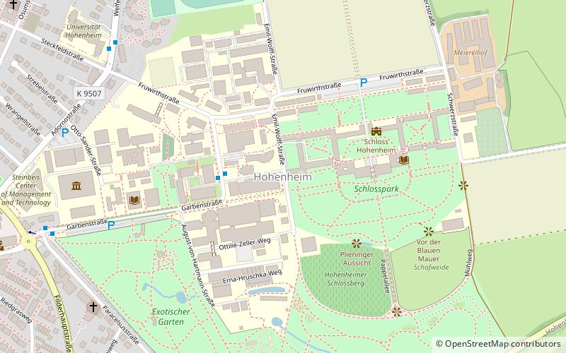
Map
Map
Facts and practical information
Hohenheim is one of 18 outer quarters of the city of Stuttgart in the borough of Plieningen that sits on the Filder in central Baden-Württemberg. It was founded in 1782. ()
Getting there by public transportation
Public transportation stops near this location
- Bus
- Light rail
 Bus
Bus
- Calculate routeUniversität Hohenheim 3 min walk
- Calculate routeFruwirthstraße 8 min walk
- Calculate routePlieningen Garbe 10 min walk
- Calculate routeWindhalmweg 11 min walk
- Calculate routePlieningen 12 min walk
Day trips
Hohenheim – popular in the area (distance from the attraction)
Nearby attractions include: Hohenheim Gardens, Plieningen, Landesarboretum Baden-Württemberg, Universität Hohenheim.


Frequently Asked Questions (FAQ)
Which popular attractions are close to Hohenheim?
Nearby attractions include Hohenheim Castle, Stuttgart (4 min walk), Universität Hohenheim, Stuttgart (4 min walk), Landesarboretum Baden-Württemberg, Stuttgart (7 min walk), Hohenheim Gardens, Stuttgart (7 min walk).
How to get to Hohenheim by public transport?
The nearest stations to Hohenheim:
Bus
Light rail
Bus
- Universität Hohenheim • Lines: 65, 70, 74, 76 (3 min walk)
- Fruwirthstraße • Lines: 65, 70, 74, 76, N8 (8 min walk)
Light rail
- Plieningen • Lines: U3 (12 min walk)