Bichtenberg

Map
Facts and practical information
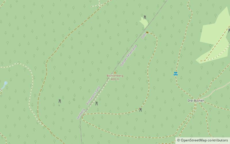
The Bichtenberg is a 400-metre-high hill in the western Wasgau, a region on the Franco-German border that includes the southern part of the Palatine Forest and the northern part of the Vosges. Its northwestern flank is in the parish of Lemberg, its southwestern flank in the parish of Dahn. To the north is the Lemberg hamlet of Salzwoog. Three kilometres west lies the Salzwoog Devil's Table. ()
Location
Rhineland-Palatinate
ContactAdd
Social media
Add
Day trips
Bichtenberg – popular in the area (distance from the attraction)
Nearby attractions include: Teufelstisch, Lemberg Castle, Drachenfels Castle, Burg Altdahn.


