Stolper See

Gallery (1)
Map
Map
Facts and practical information
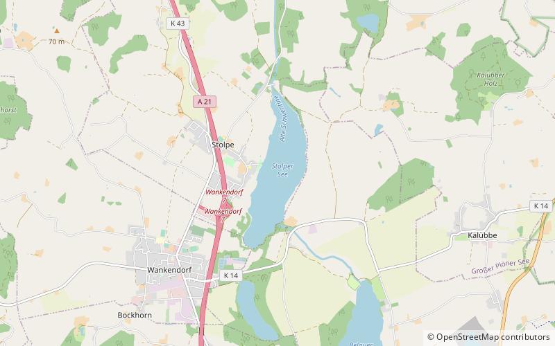
Stolper See is a lake in Kreis Plön, Schleswig-Holstein, Germany, to the east of the eponymous village of Stolpe. The lake covers an area of 132.6 hectares, a maximum depth of 14.6 metres, and is 27 metres above sea level. ()
Alternative names: Area: 0.51 mi²Length: 3.73 miWidth: 4921 ftMaximum depth: 49 ftElevation: 82 ft a.s.l.Coordinates: 54°7'36"N, 10°13'54"E
Location
Schleswig-Holstein
ContactAdd
Social media
Add
Day trips