Hochblassen
Map

Map

Facts and practical information
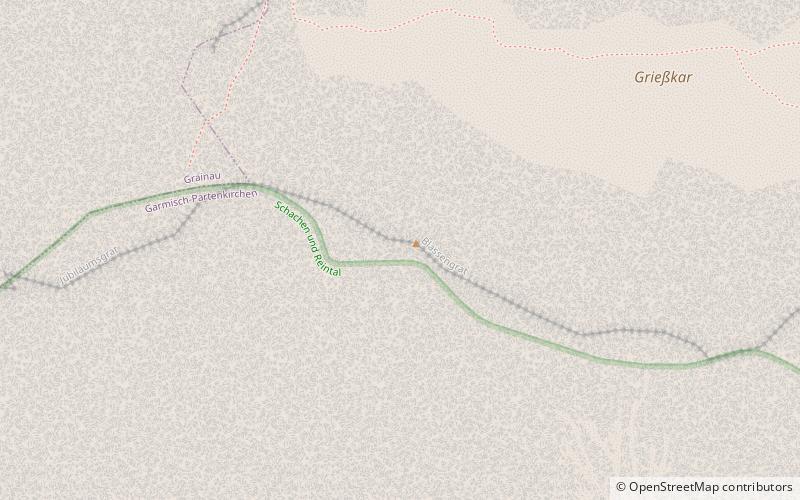
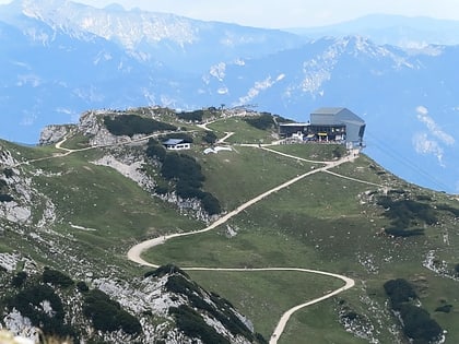
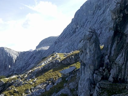
The Hochblassen is a mountain 2,706 metres high, located in the Wetterstein in the German state of Bavaria. In addition to the main summit, it has a sub-peak, the so-called Signalgipfel which is 2,698 metres high. It was first climbed in 1871 by Hermann von Barth and Peter Klaisl. ()
Location
Bavaria
ContactAdd
Social media
Add
Day trips
Hochblassen – popular in the area (distance from the attraction)
Nearby attractions include: Höllentalanger Hut, Alpspitze, Osterfelderkopf, Bernadeinkopf.


