Lortzingplatz, Cologne
Map

Gallery

Facts and practical information
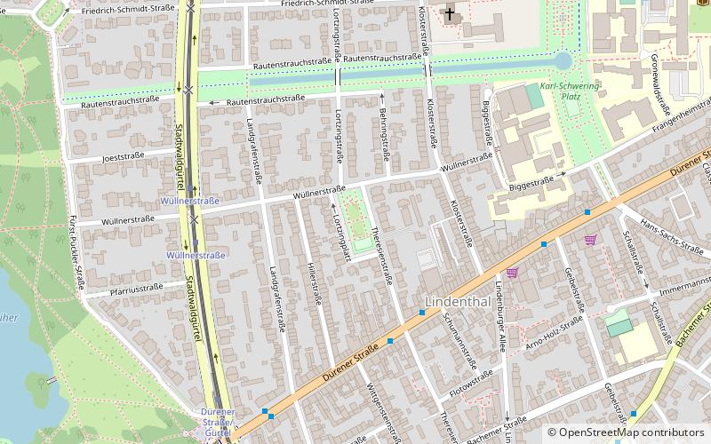
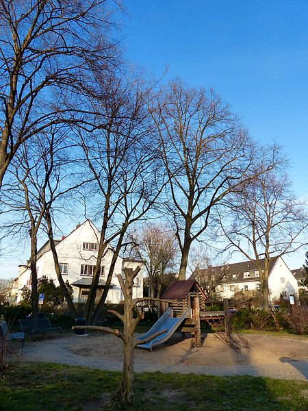
Lortzingplatz was laid out between 1906 and 1908 by the royal garden architect Fritz Encke in the Lindenthal district of Cologne. According to Encke's plans, the 2300-square-meter garden square was intended to serve as a multifunctional recreational space in the residential district on Theresienstrasse, which had been developed by the beginning of the 20th century. The square was named after the composer Albert Lortzing, who married Rosina Regina Ahles in Cologne on January 30, 1824.
Elevation: 174 ft a.s.l.Coordinates: 50°55'52"N, 6°54'43"E
Address
LindenthalCologne
ContactAdd
Social media
Add
Day trips
Lortzingplatz – popular in the area (distance from the attraction)
Nearby attractions include: Cologne Central Mosque, Melaten Cemetery, Museum of East Asian Art, Colonius.
Frequently Asked Questions (FAQ)
Which popular attractions are close to Lortzingplatz?
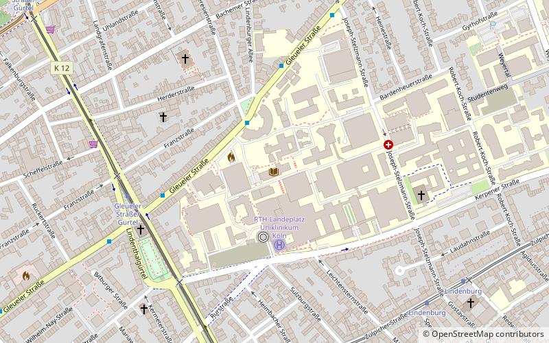
Nearby attractions include Karl-Schwering-Platz, Cologne (8 min walk), Christi Auferstehung, Cologne (9 min walk), Lindenthal, Cologne (10 min walk), German National Library of Medicine, Cologne (13 min walk).
How to get to Lortzingplatz by public transport?
The nearest stations to Lortzingplatz:
Tram
Bus
Train
Tram
- Wüllnerstraße • Lines: 13, 7 (5 min walk)
- Dürener Straße/Gürtel • Lines: 13, 7 (6 min walk)
Bus
- Aachener Straße / Gürtel • Lines: 140, 172, 173 (11 min walk)
- Bachemer Straße • Lines: 142 (18 min walk)
Train
- Köln Süd (29 min walk)
- Köln West (32 min walk)


