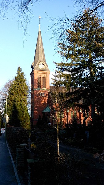
Evangelische Kirche Ummeln, Bielefeld

Gallery (2)
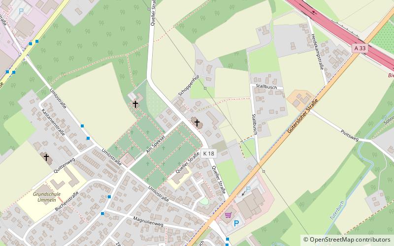
Map
Map
Gallery
Facts and practical information
The Evangelische Kirche Ummeln is a listed church building in Ummeln, a district of the Brackwede borough of the independent city of Bielefeld in North Rhine-Westphalia, Germany.
Coordinates: 51°58'25"N, 8°27'52"E
Getting there by public transportation
Public transportation stops near this location
- Bus
 Bus
Bus
- Calculate routeKastanienstraße 6 min walk
- Calculate routeMagnolienweg 6 min walk
- Calculate routeZur Mühle 6 min walk
Day trips


Frequently Asked Questions (FAQ)
How to get to Evangelische Kirche Ummeln by public transport?
The nearest stations to Evangelische Kirche Ummeln:
Bus
Bus
- Kastanienstraße • Lines: 128, 28, 87, 95 (6 min walk)
- Magnolienweg • Lines: 28, 87 (6 min walk)