Rheinkniebrücke, Düsseldorf
Facts and practical information
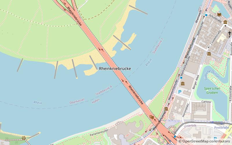
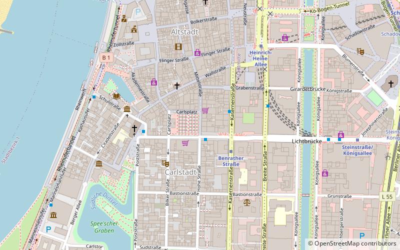
Rheinkniebrücke is a place located in Düsseldorf (North Rhine-Westphalia state) and belongs to the category of bridge, view point.
It is situated at an altitude of 89 feet, and its geographical coordinates are 51°13'17"N latitude and 6°45'47"E longitude.
Planning a visit to this place, one can easily and conveniently get there by public transportation. Rheinkniebrücke is a short distance from the following public transport stations: Landtag / Kniebrücke (tram, 8 min walk), Landtag / Kniebrücke (bus, 8 min walk), Benrather Straße U (metro, 14 min walk), Düsseldorf Völklinger Straße (train, 21 min walk).
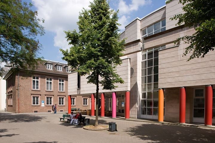
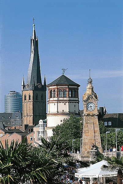
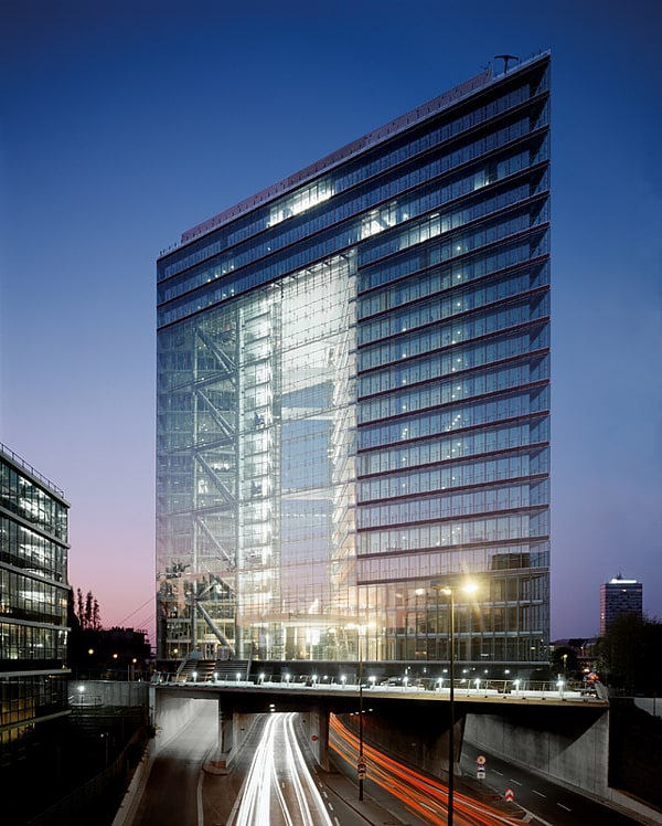
Among other places and attractions worth visiting in the area are: Apollo Varieté Theater (concerts and shows, 5 min walk), Kunst im Tunnel (museum, 6 min walk), Mannesmann-Haus (monuments and statues, 6 min walk).
Stadtbezirke 04 (Oberkassel)Düsseldorf
- Metro
- Bus
- Tram
- Train
 Metro
Metro
- Calculate routeLandtag / Kniebrücke 8 min walk
- Calculate routePoststraße 10 min walk
- Calculate routeStadttor 11 min walk
- Calculate routeLandtag / Kniebrücke 8 min walk
- Calculate routePoststraße 10 min walk
- Calculate routeStadttor 11 min walk
- Calculate routePolizeipräsidium 12 min walk
- Calculate routeBenrather Straße U 14 min walk
- Calculate routeGraf-Adolf-Platz 15 min walk
- Calculate routeHeinrich-Heine-Allee 18 min walk
- Calculate routeDüsseldorf Völklinger Straße 21 min walk
- Calculate routeDüsseldorf-Bilk 28 min walk
- Calculate routeDüsseldorf-Hamm 32 min walk
- Calculate routeDüsseldorf-Friedrichstadt 34 min walk


Frequently Asked Questions (FAQ)
When is Rheinkniebrücke open?
- Monday 24h
- Tuesday 24h
- Wednesday 24h
- Thursday 24h
- Friday 24h
- Saturday 24h
- Sunday 24h
Which popular attractions are close to Rheinkniebrücke?
How to get to Rheinkniebrücke by public transport?
Tram
- Landtag / Kniebrücke • Lines: 706, 708, 709 (8 min walk)
- Poststraße • Lines: 706, 708, 709 (10 min walk)
Bus
- Landtag / Kniebrücke • Lines: 726, 835, 836, M3 (8 min walk)
- Poststraße • Lines: 726 (10 min walk)
Metro
- Benrather Straße U • Lines: U71, U72, U73, U83 (14 min walk)
- Graf-Adolf-Platz • Lines: U71, U72, U73, U83 (15 min walk)
Train
- Düsseldorf Völklinger Straße (21 min walk)
- Düsseldorf-Bilk (28 min walk)