Totenkopf Hill

Gallery (1)
Map
Map
Facts and practical information
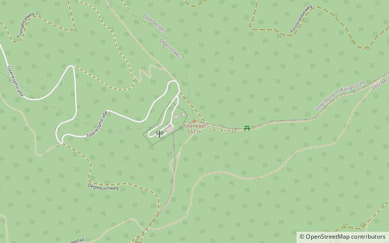
The Totenkopf is a hill in Baden-Württemberg, Germany, forming the highest point in the Kaiserstuhl region. The hill is topped by an observation tower and a 120-m Deutsche Telekom communications tower. Wine and fruit are cultivated on its slopes. ()
Location
Baden-Württemberg
ContactAdd
Social media
Add
Day trips


