Kahlheid

Gallery (1)
Map
Map
Facts and practical information
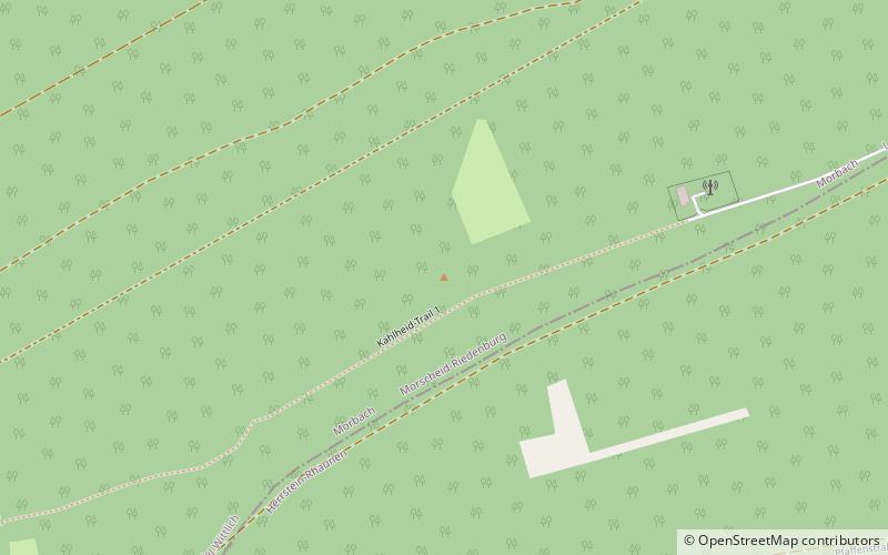
The Kahlheid near Morscheid-Riedenburg in the Idar Forest is a mountain, 766 m above sea level, on the boundary between the counties of Birkenfeld and Bernkastel-Wittlich in the German state of Rhineland-Palatinate. ()
Location
Rhineland-Palatinate
ContactAdd
Social media
Add
Day trips