Ostpark, Düsseldorf
Map
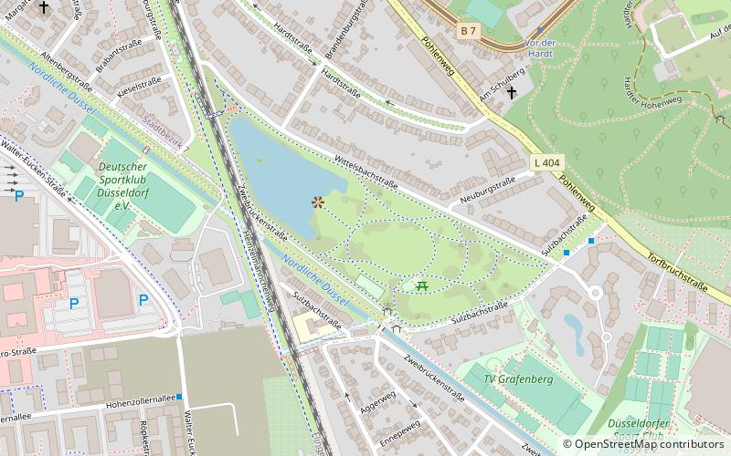
Map

Facts and practical information
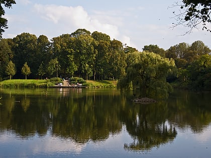
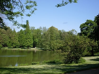
The East Park of the state capital, with its 8.13 hectares, is one of the smaller parks created in Düsseldorf at the end of the 19th century.
Elevation: 154 ft a.s.l.Coordinates: 51°14'11"N, 6°50'1"E
Address
Stadtbezirke 07 (Grafenberg)Düsseldorf
ContactAdd
Social media
Add
Day trips
Ostpark – popular in the area (distance from the attraction)
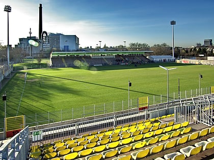
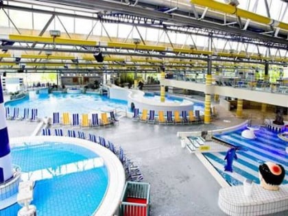
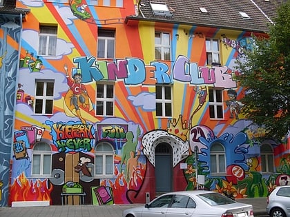
Nearby attractions include: Paul-Janes-Stadion, Freizeitbad Düsselstrand, Theater FLIN, Kiefernstraße.
Frequently Asked Questions (FAQ)
Which popular attractions are close to Ostpark?
Nearby attractions include Düsseldorf-Grafenberg, Düsseldorf (13 min walk), Paul-Janes-Stadion, Düsseldorf (22 min walk).
How to get to Ostpark by public transport?
The nearest stations to Ostpark:
Bus
Metro
Tram
Train
Bus
- Hohenzollernallee • Lines: 725 (7 min walk)
- Pöhlenweg • Lines: Ne4, Ne5 (7 min walk)
Metro
- Pöhlenweg • Lines: U73, U83 (7 min walk)
- Vor der Hardt • Lines: U73 (7 min walk)
Tram
- Pöhlenweg • Lines: 709 (7 min walk)
- Vor der Hardt (7 min walk)
Train
- Düsseldorf-Flingern (32 min walk)
