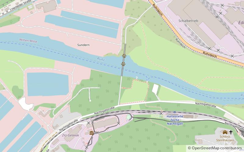
Nachtigallbrücke, Witten

Facts and practical information
Nachtigallbrücke is a place located in Witten (North Rhine-Westphalia state) and belongs to the category of bridge.
It is situated at an altitude of 262 feet, and its geographical coordinates are 51°25'52"N latitude and 7°18'56"E longitude.
Planning a visit to this place, one can easily and conveniently get there by public transportation. Nachtigallbrücke is a short distance from the following public transport stations: Zeche Nachtigall (train, 5 min walk), Auf dem Hee (bus, 13 min walk), Hans-Böckler-Straße (tram, 15 min walk), Burgruine Hardenstein (ferry, 21 min walk).
Among other places and attractions worth visiting in the area are: ehemalige Kohlenniederlage der Zeche Nachtigall (museum, 2 min walk), LWL-Industriemuseum Zeche Nachtigall (museum, 5 min walk), Stele (monuments and statues, 6 min walk).
- Bus
- Tram
- Train
- Ferry
 Bus
Bus
- Calculate routeZeche Nachtigall 5 min walk
- Calculate routeGruben- und Feldbahnmuseum 12 min walk
- Calculate routeParkplatz Nachtigallstraße 16 min walk
- Calculate routeWitten Central Station 18 min walk
- Calculate routeAuf dem Hee 13 min walk
- Calculate routePotthofstraße 13 min walk
- Calculate routeSprockhöveler Straße 17 min walk
- Calculate routeWitten Hauptbahnhof 18 min walk
- Calculate routeHans-Böckler-Straße 15 min walk
- Calculate routeSprockhöveler Straße 17 min walk
- Calculate routeBahnhofstraße 19 min walk
- Calculate routeBurgruine Hardenstein 21 min walk
- Calculate routeSchleuse Herbede 22 min walk


Frequently Asked Questions (FAQ)
Which popular attractions are close to Nachtigallbrücke?
How to get to Nachtigallbrücke by public transport?
Train
- Zeche Nachtigall (5 min walk)
- Gruben- und Feldbahnmuseum (12 min walk)
Bus
- Auf dem Hee • Lines: 320 (13 min walk)
- Potthofstraße • Lines: 320 (13 min walk)
Tram
- Hans-Böckler-Straße • Lines: 309, 310 (15 min walk)
- Sprockhöveler Straße • Lines: 309, 310 (17 min walk)
Ferry
- Burgruine Hardenstein • Lines: Fahrradfähre, MS Schwalbe II (21 min walk)
- Schleuse Herbede • Lines: Fahrradfähre, MS Schwalbe II (22 min walk)