Kletterwald Haltern, Haltern am See
Map

Map

Facts and practical information
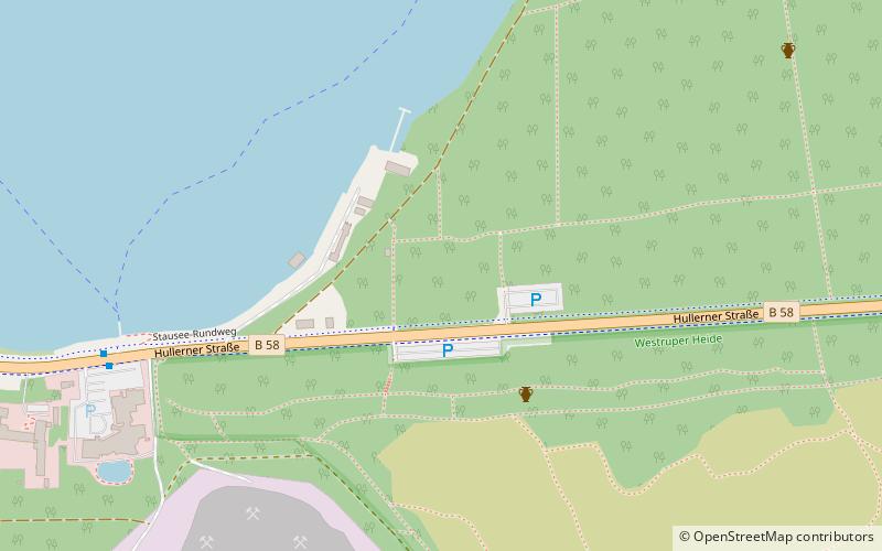
Kletterwald Haltern (address: Hullerner Strasse 109) is a place located in Haltern am See (North Rhine-Westphalia state) and belongs to the category of adventure park, tours, outdoor activities.
It is situated at an altitude of 180 feet, and its geographical coordinates are 51°44'29"N latitude and 7°13'46"E longitude.
Among other places and attractions worth visiting in the area are: Segelclub Mühlbachtal Haltern - SCMH (sailing, 31 min walk), Haltern Hills (neighbourhood, 47 min walk), LWL-Römermuseum (specialty museum, 65 min walk).
Coordinates: 51°44'29"N, 7°13'46"E
Day trips
Kletterwald Haltern – popular in the area (distance from the attraction)
Nearby attractions include: Ketteler-Hof, Prickings-Hof, Freizeitpark Gut Eversum, LWL-Römermuseum.
Frequently Asked Questions (FAQ)
When is Kletterwald Haltern open?
Kletterwald Haltern is open:
- Monday closed
- Tuesday closed
- Wednesday closed
- Thursday 12 pm - 8 pm
- Friday 12 pm - 8 pm
- Saturday 10 am - 8 pm
- Sunday 10 am - 8 pm


