Hermannsweg, Rheine

Gallery (4)
Map

Map
Gallery
Facts and practical information
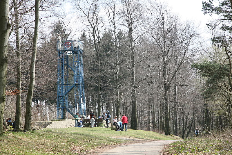
The 156-kilometer Hermannsweg, named after Hermann the Cheruscan, also known as Arminius, is considered one of the most beautiful high-altitude trails in Germany and runs along the ridge of the Teutoburg Forest. The trail was established in 1902, a good 25 years after the completion of the Hermann Monument, and is marked with a white H along its full length. Together with the Eggeweg, the Hermannsweg forms the Hermannshöhen hiking trail. The Teutoburger-Wald-Verein e. V. based in Bielefeld, ensures that the trail is easily accessible. Since 2008, the Hermannsweg has been designated as a Prädikatswanderweg.
Address
Rheine
ContactAdd
Social media
Add
Getting there by public transportation
Public transportation stops near this location
- Bus
- Train
 Bus
Bus
- Calculate routeBahnhof 2 min walk
- Calculate routeBustreff 2 min walk
- Calculate routeRheine 3 min walk
Day trips
Hermannsweg – popular in the area (distance from the attraction)
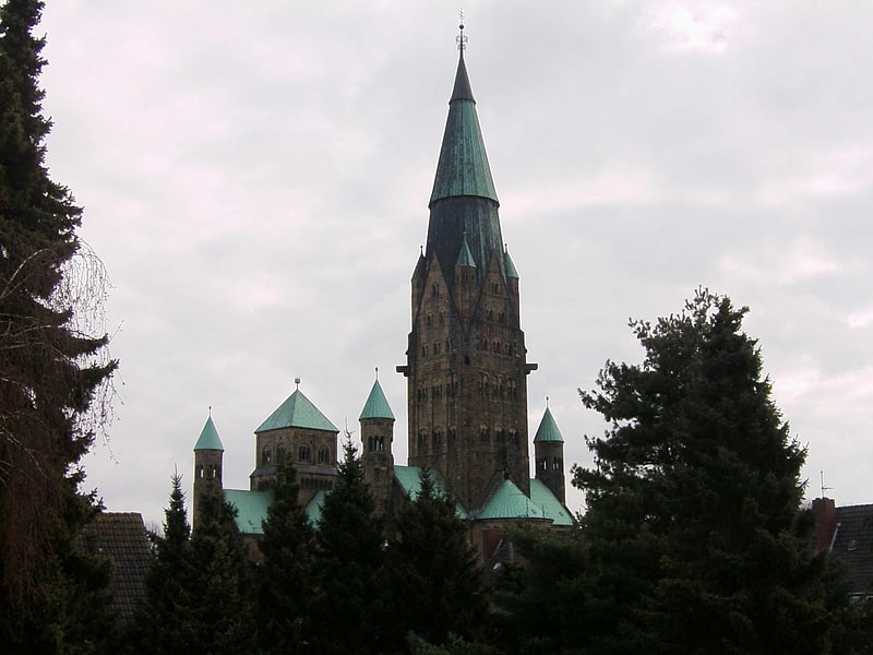
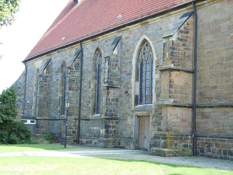
Nearby attractions include: St Antonius basilica, Ems-Galerie, Villa Reni, Stadthalle.


Frequently Asked Questions (FAQ)
Which popular attractions are close to Hermannsweg?
Nearby attractions include St Dionysius church, Rheine (5 min walk), Villa Reni, Rheine (7 min walk), Stadthalle, Rheine (9 min walk), St Antonius basilica, Rheine (16 min walk).
How to get to Hermannsweg by public transport?
The nearest stations to Hermannsweg:
Bus
Train
Bus
- Bahnhof • Lines: 141, 153, 182, 184, 190, 192, 195, R80 (2 min walk)
- Bustreff • Lines: 190, 192, C1, C10, C11, C12, C2, C3, C4, C5, C6, C7, C8, C9, G1, G2, Ms-A, Ms-B, Ms-C, Ms-D, R80, R93 (2 min walk)
Train
- Rheine (3 min walk)