Wegkreuz am Galgenberg, Eppelborn

Gallery (1)
Map
Map
Facts and practical information
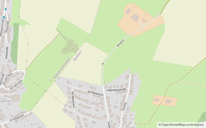
Wegkreuz am Galgenberg is a place located in Eppelborn (Saarland state) and belongs to the category of wayside shrine.
It is situated at an altitude of 991 feet, and its geographical coordinates are 49°24'55"N latitude and 6°57'41"E longitude.
Among other places and attractions worth visiting in the area are: Gross / Meiser (wayside shrine, 12 min walk), Groß (wayside shrine, 16 min walk), Jean-Lurçat-Museum Eppelborn (art museum, 22 min walk).
Coordinates: 49°24'55"N, 6°57'41"E
Address
Eppelborn
ContactAdd
Social media
Add
Day trips


Frequently Asked Questions (FAQ)
Which popular attractions are close to Wegkreuz am Galgenberg?
Nearby attractions include Gross / Meiser, Eppelborn (12 min walk), Groß, Eppelborn (16 min walk), Jean-Lurçat-Museum Eppelborn, Eppelborn (22 min walk).