Gellersen
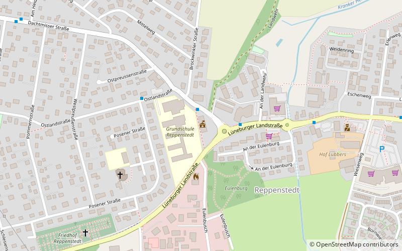
Map
Facts and practical information
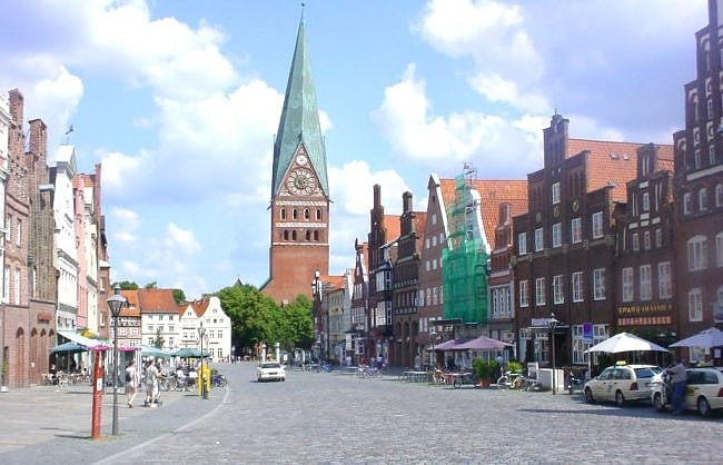
Gellersen is a Samtgemeinde in the district of Lüneburg, in Lower Saxony, Germany. It is situated approximately 5 km west of Lüneburg. Its seat is in the village Reppenstedt. ()
Day trips
Gellersen is a Samtgemeinde in the district of Lüneburg, in Lower Saxony, Germany. It is situated approximately 5 km west of Lüneburg. Its seat is in the village Reppenstedt. ()
Where to next? Visit ![]() Lower Saxony region page or discover the top tourist attractions in Germany.
Lower Saxony region page or discover the top tourist attractions in Germany.