Heydauer Berg

Map
Facts and practical information
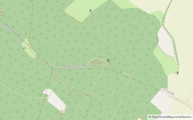
The Heydaer Berg between Plaue and Ilmenau in the Thuringian county of Ilm-Kreis is a hill ridge of the Reinsberge which reaches its highest point at the Halskappe which is 605.4 m above sea level, shortly before the better known Reinsburg. ()
Location
Thuringia
ContactAdd
Social media
Add
Day trips
Heydauer Berg – popular in the area (distance from the attraction)
Nearby attractions include: Mühltor-Center, Liebenstein Castle, Ehrenburg, Ehrenberg.


