Westpark, Dortmund
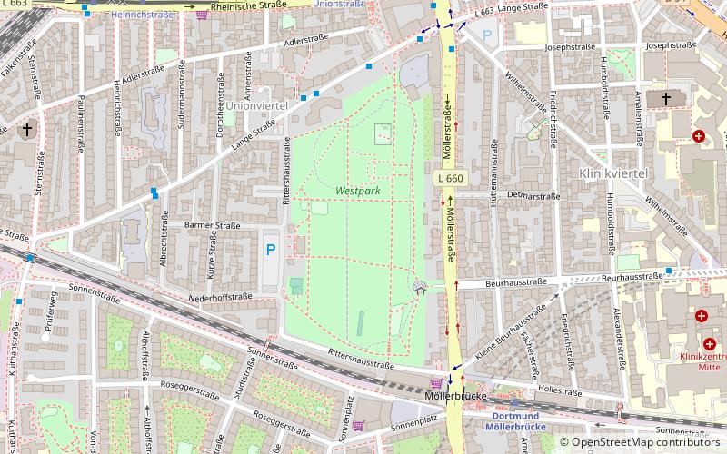
Map
Gallery
Facts and practical information
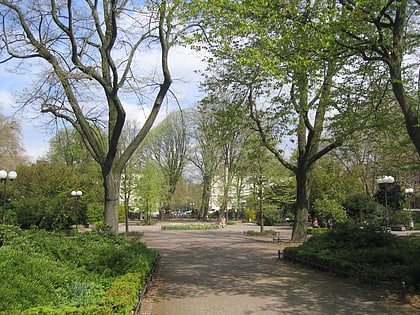
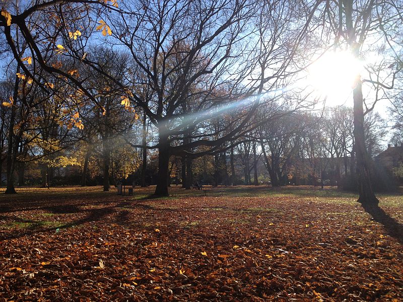
The Westpark is a green area in the western city center of Dortmund.
Elevation: 338 ft a.s.l.Coordinates: 51°30'35"N, 7°26'55"E
Address
Rittershausstraße 34Innenstadt-West (Westpark)Dortmund 44137
Contact
+49 231 162784
Social media
Add
Day trips
Westpark – popular in the area (distance from the attraction)
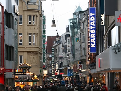
Nearby attractions include: Westenhellweg, Deutsches Fußballmuseum, St. Reinold's Church, Dortmunder U.
Frequently Asked Questions (FAQ)
Which popular attractions are close to Westpark?
Nearby attractions include Fletch Bizzel, Dortmund (6 min walk), Church of Our Lady, Dortmund (9 min walk), Dortmunder U, Dortmund (11 min walk), Nordmarkt, Dortmund (13 min walk).
How to get to Westpark by public transport?
The nearest stations to Westpark:
Bus
Metro
Train
Tram
Bus
- Westpark • Lines: 452 (4 min walk)
- Möllerbrücke • Lines: 453, Ne8 (5 min walk)
Metro
- Dortmund Möllerbrücke (6 min walk)
- Unionstraße (7 min walk)
Train
- Dortmund Möllerbrücke (7 min walk)
- Dortmund West (11 min walk)
Tram
- Unionstraße • Lines: U43, U44 (7 min walk)
- Heinrichstraße • Lines: U43, U44 (10 min walk)

