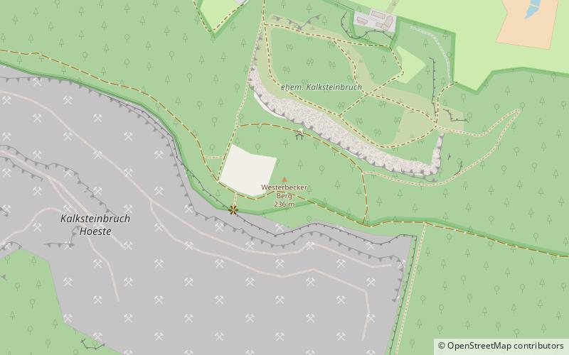
Westerbecker Berg

Gallery (2)
Map
Map
Gallery
Facts and practical information
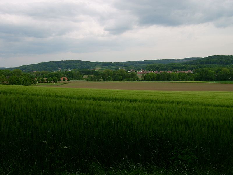
The Westerbecker Berg is a forested hill in the Teutoburg Forest and, at 236 m above sea level, the highest point in Tecklenburg Land, the county of Steinfurt and the administrative region of Münster in the German state of North Rhine-Westphalia. ()
Location
North Rhine-Westphalia
ContactAdd
Social media
Add
Day trips


