Karkopf
Map

Map

Facts and practical information
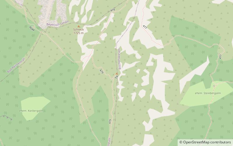
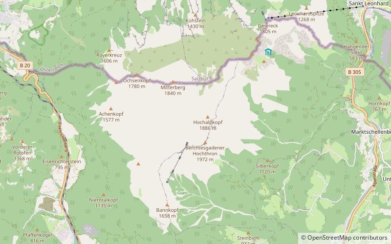
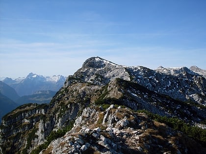
The Karkopf is a mountain, 1,738 m, and the highest peak of the whole Lattengebirge range in the German state of Bavaria. It lies exactly on the boundary between the municipality of Bayerisch Gmain to the west and the municipality of Bischofswiesen to the east. ()
Location
Bavaria
ContactAdd
Social media
Add
Day trips
Karkopf – popular in the area (distance from the attraction)
Nearby attractions include: Schellenberg Ice Cave, RupertusTherme Spa & Fitness Resort, Predigtstuhl, The Alte Saline.


