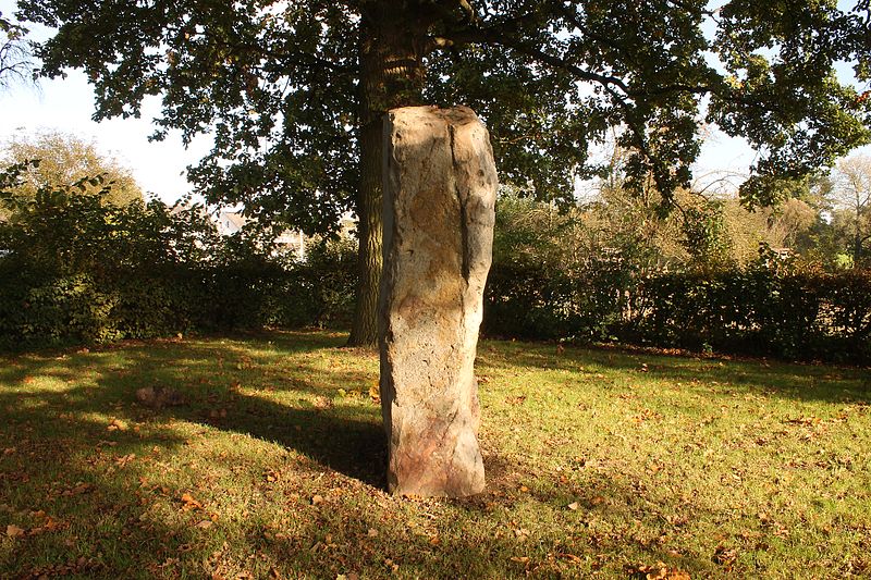
Wotanstein

Gallery (3)
Map
Map
Gallery
Facts and practical information
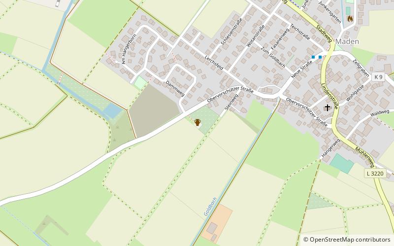
The Wotanstein, also known as 'Wodanstein' or earlier on 'Malstein', is a small megalith or menhir situated close to the village of Maden, Schwalm-Eder-Kreis, Hesse, Germany. ()
Local name: Wotanstein in Maden Length: 4 ftWidth: 2 ftHeight: 7 ftCoordinates: 51°9'49"N, 9°22'13"E
Location
Hesse
ContactAdd
Social media
Add
Day trips


