Torhaus der Ludgerusburg, Coesfeld
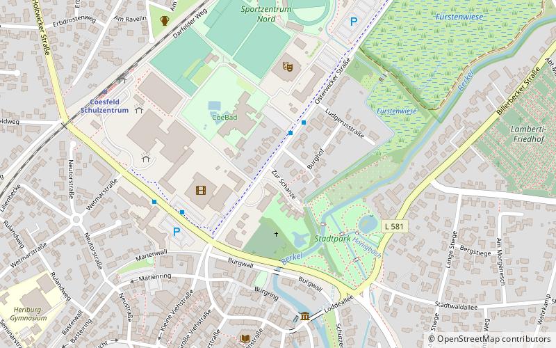
Map

Map

Facts and practical information
Ludgerusburg is a looped star-shaped citadel in the north of Coesfeld in North Rhine-Westphalia, whose construction and destruction fell in the second half of the 17th century. It was the sovereign residence of Christoph Bernhard von Galen, named after St. Ludgerus, the first bishop of the diocese of Münster.
Coordinates: 51°56'60"N, 7°10'18"E
Address
Coesfeld
ContactAdd
Social media
Add
Day trips
Torhaus der Ludgerusburg – popular in the area (distance from the attraction)
Nearby attractions include: Coesfeld Cross, Walkenbrückentor, Jesuit Church, St. Lamberti.
Frequently Asked Questions (FAQ)
Which popular attractions are close to Torhaus der Ludgerusburg?
Nearby attractions include Konzert Theater Coesfeld, Coesfeld (4 min walk), Walkenbrückentor, Coesfeld (5 min walk), Public library, Coesfeld (6 min walk), St. Lamberti, Coesfeld (8 min walk).
How to get to Torhaus der Ludgerusburg by public transport?
The nearest stations to Torhaus der Ludgerusburg:
Bus
Train
Bus
- CoeBAD • Lines: 581, R81 (2 min walk)
- Arbeitsamt • Lines: 561, 582, 587, N6, N8, R62, R81 (4 min walk)
Train
- Coesfeld Schulzentrum (7 min walk)
- Coesfeld (21 min walk)


