Hornungskuppe
Map

Map

Facts and practical information
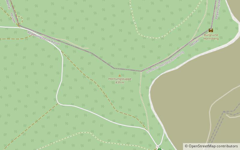
The Hornungskuppe is a wooded hill, 439 m above sea level, in the Thuringian Zipfel on the border of Hesse and Thuringia in Germany. It is part of the natural region of the Seulingswald. ()
Location
Hesse
ContactAdd
Social media
Add
Day trips
Hornungskuppe – popular in the area (distance from the attraction)
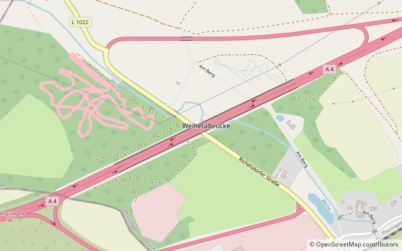
Nearby attractions include: Monte Kali, Wasserburg Friedewald, Burg Wendelstein, Weihe Viaduct.


