Hohenfels

Gallery (3)
Map
Map
Gallery
Facts and practical information
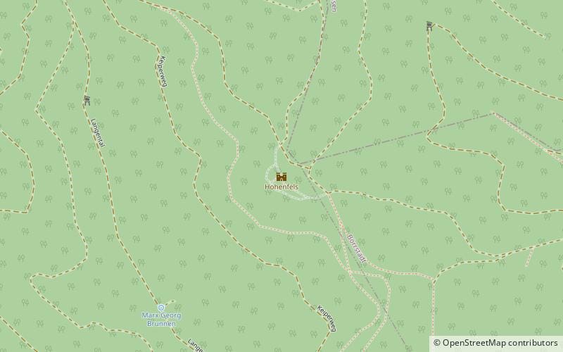
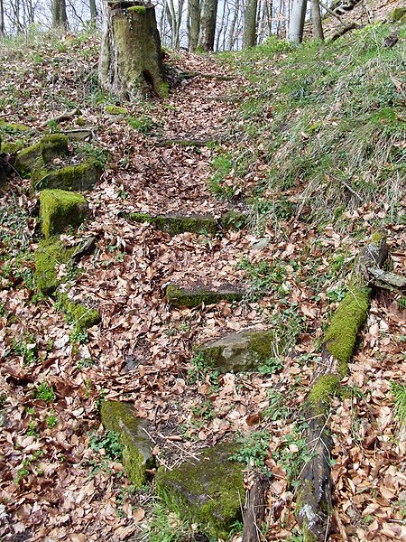
Hohenfels Castle is a ruined hill castle at a height of 545 m above sea level, in the Beutelfels Nature Reserve north of the village of Imsbach in the county of Donnersbergkreis in the German state of Rhineland-Palatinate. The castle may be reached via a steep footpath from the visitor mine of Weiße Grube in the valley of Langental. The path passes the "Iron Man" monument. ()
Location
Rhineland-Palatinate
ContactAdd
Social media
Add
Day trips