Dreyse Mühle, Sömmerda

Gallery (1)
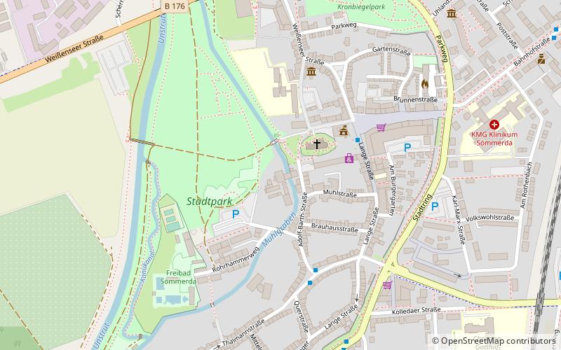
Map
Map
Facts and practical information
Dreyse Mühle is a place located in Sömmerda (Thuringia state) and belongs to the category of watermill.
It is situated at an altitude of 463 feet, and its geographical coordinates are 51°9'40"N latitude and 11°6'56"E longitude.
Among other places and attractions worth visiting in the area are: City Hall (city hall, 3 min walk), Leubingen tumulus (archaeological site, 79 min walk), Runneburg (forts and castles, 91 min walk).
Coordinates: 51°9'40"N, 11°6'56"E
Address
Sömmerda
ContactAdd
Social media
Add
Day trips


