Niederursel, Frankfurt

Map
Facts and practical information
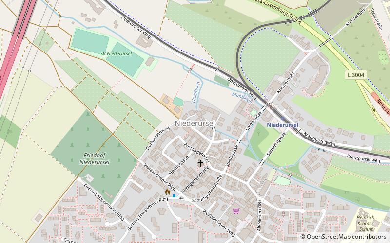
Niederursel is a quarter of Frankfurt am Main, Germany. It is part of the Ortsbezirk Nord-West and is subdivided into the Stadtbezirke Niederursel-Ost and Niederursel-West. ()
Day trips
Niederursel – popular in the area (distance from the attraction)
Nearby attractions include: NordWestZentrum, Anne Frank Educational Centre, Europaturm, Batschkapp.
Frequently Asked Questions (FAQ)
How to get to Niederursel by public transport?
The nearest stations to Niederursel:
Bus
Metro
Train
Bus
- Weißkirchener Weg • Lines: 71, M72, M73 (4 min walk)
- Alt-Niederursel • Lines: 71, M72, M73 (8 min walk)
Metro
- Niederursel • Lines: U3, U8, U9 (5 min walk)
- Wiesenau • Lines: U3, U8, U9 (14 min walk)
Train
- Heddernheimer Landstraße (21 min walk)


