Trek Zone

DAV-Kletteranlage Rosenheim-Fürstätt, Rosenheim

#8 among attractions in Rosenheim

Climbing
DAV-Kletteranlage Rosenheim-Fürstätt

Facts and practical information

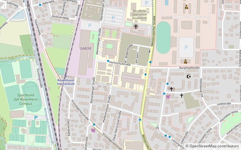
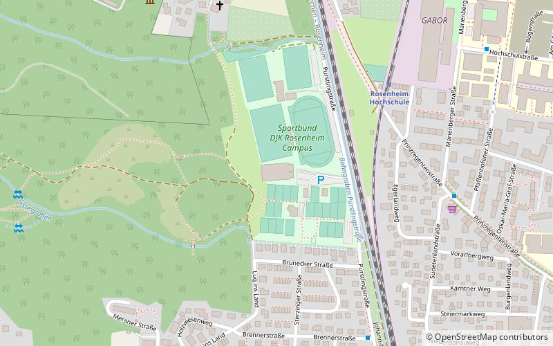
DAV-Kletteranlage Rosenheim-Fürstätt (address: 47a Pürstlingstraße) is a place located in Rosenheim (Bavaria ) and belongs to the category of climbing.

It is situated at an altitude of 1467 feet, and its geographical coordinates are 47°51'53"N latitude and 12°6'3"E longitude.

Among other places and attractions worth visiting in the area are: Rosenheim University of Applied Sciences (universities and schools, 10 min walk), Nikolaus Church (church, 36 min walk), Lokschuppen (museum, 40 min walk).

Coordinates: 47°51'53"N, 12°6'3"E
Address

47a PürstlingstraßeRosenheim Germany

ContactAdd
Social media
Add

Rosenheim plan & book

Unleash the traveler in you — discover the cheapest flight deals, find the perfect hotel or hostel nearby, and search for the best car rental prices. Travel at your own pace to discover new places and enjoy your journey.

Day trips

DAV-Kletteranlage Rosenheim-Fürstätt – popular in the area (distance from the attraction)

Nearby attractions include: Rofa-Stadion, Therme Bad Aibling, Lokschuppen, Nikolaus Church.

  • kathrein stadion rosenheim1.7 miSE
  • therme bad aibling4.6 miW
  • lokschuppen rosenheim1.5 miSE
  • nikolaus church rosenheim1.4 miSE
  • mareis saal kolbermoor2 miSW
  • stadtische galerie rosenheim1.6 miSE
  • wallfahrtskirche maria himmelfahrt tuntenhausen6.3 miNW
  • stephanskirchen3.5 miE
  • rosenheim university of applied sciences location map
    ~1940 ftE
  • raubling location map
    5.2 miS
  • rohrdorf location map
    5.5 miSE

Where to next? Visit bavaria Bavaria region page or discover the top tourist attractions in Germany.