Reiterdenkmal, Essen

Facts and practical information
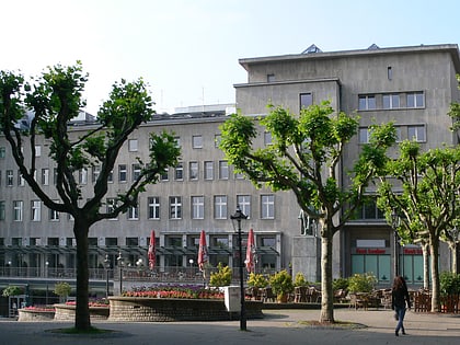
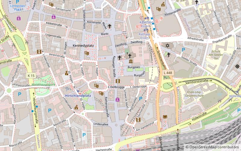
Reiterdenkmal (address: Burgplatz/Kettwiger Straße) is a place located in Essen (North Rhine-Westphalia state) and belongs to the category of memorial.
It is situated at an altitude of 289 feet, and its geographical coordinates are 51°27'18"N latitude and 7°0'48"E longitude.
Planning a visit to this place, one can easily and conveniently get there by public transportation. Reiterdenkmal is a short distance from the following public transport stations: Hirschlandplatz (metro, 4 min walk), Rathaus Essen (tram, 5 min walk), Rathaus Essen (bus, 5 min walk), Essen Hauptbahnhof (train, 7 min walk).
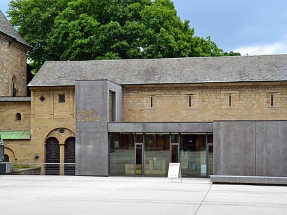
Among other places and attractions worth visiting in the area are: Lichtburg (nightlife, 1 min walk), Golden Madonna of Essen (monuments and statues, 2 min walk), Essen Cathedral Treasury (museum, 2 min walk).
Burgplatz/Kettwiger StraßeStadtmitte - Frillendorf - Huttrop (Stadtkern)Essen
Reiterdenkmal – popular in the area (distance from the attraction)
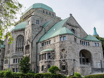
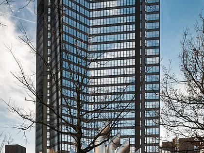
Nearby attractions include: Lichtburg, Essen Cathedral Treasury, Alte Synagoge, Philharmonie Essen.
Frequently Asked Questions (FAQ)
Which popular attractions are close to Reiterdenkmal?
How to get to Reiterdenkmal by public transport?
Metro
- Hirschlandplatz • Lines: U11, U17, U18 (4 min walk)
- Essen Hauptbahnhof • Lines: U11, U17, U18 (9 min walk)
Tram
- Rathaus Essen • Lines: 101, 103, 105, 106, 107, 108, 109 (5 min walk)
- Essen Hauptbahnhof • Lines: 101, 103, 105, 106, 107, 108 (9 min walk)
Bus
- Rathaus Essen • Lines: 145, 154, 155, 166, 196, Ne1, Ne11, Ne12, Ne2, Sb16 (5 min walk)
- Am Waldthausenpark • Lines: 166, Ne10, Ne16 (8 min walk)
Train
- Essen Hauptbahnhof (7 min walk)
- Gemarkenplatz (29 min walk)

