Sankt Bonifatius, Lübeck
Map

Map

Facts and practical information
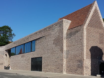
The church building of St. Boniface was built in 1952 by architect Emil Steffann in the suburb of Lübeck-St. Lorenz-Nord as an emergency church, as the number of Catholics had increased fivefold with the refugees of World War II.
Coordinates: 53°52'32"N, 10°40'5"E
Address
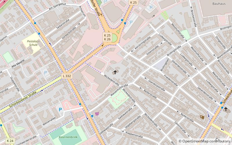
Wickedestraße 74St. Lorenz Nord (Holstentor Nord)Lübeck 23554
Contact
+49 451 43377
Social media
Add
Day trips
Sankt Bonifatius – popular in the area (distance from the attraction)
Nearby attractions include: Holstentor, St. Mary's Church, Lübeck Museum of Theatre Puppets, European Hansemuseum.
Frequently Asked Questions (FAQ)
Which popular attractions are close to Sankt Bonifatius?
Nearby attractions include Pestkreuz von 1598, Lübeck (13 min walk), Die Fremden, Lübeck (15 min walk), Musik- und Kongresshalle, Lübeck (15 min walk), Vor den Augen aller, Lübeck (16 min walk).
How to get to Sankt Bonifatius by public transport?
The nearest stations to Sankt Bonifatius:
Bus
Train
Ferry
Bus
- Waisenhofstraße • Lines: 12, 17, 3, 5912, 7, 7650, 8150, 9 (4 min walk)
- Lohmühlenplatz • Lines: 3 (4 min walk)
Train
- Lübeck Hauptbahnhof (15 min walk)
Ferry
- Hansefahrt • Lines: Hansefahrt (20 min walk)


