Church of Peace, Hanover
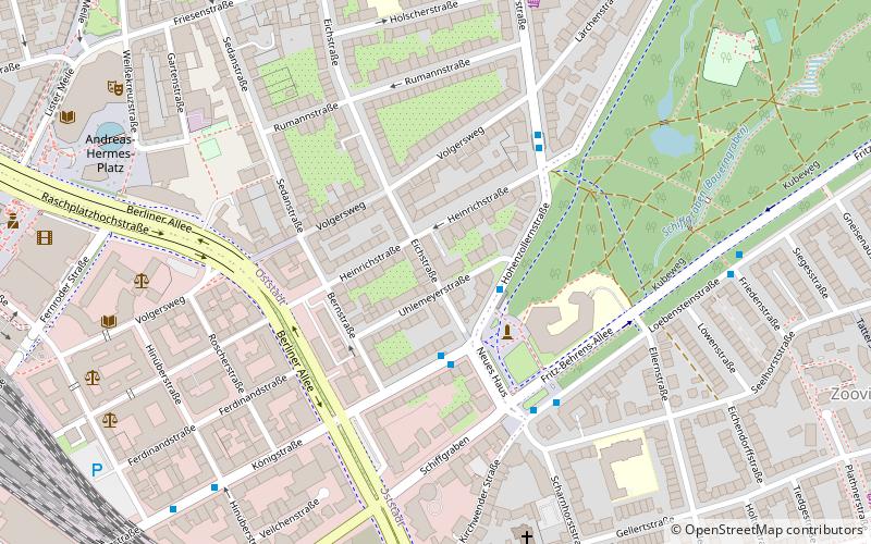
Map
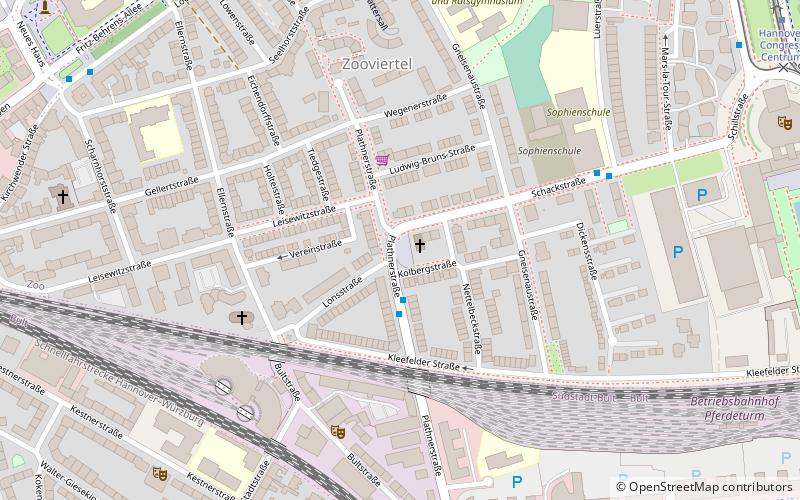
Map

Facts and practical information
Friedenskirche is an Evangelical Lutheran church in the Zoo district of Hanover, Germany.
Coordinates: 52°22'27"N, 9°45'40"E
Day trips
Church of Peace – popular in the area (distance from the attraction)
Nearby attractions include: Hanover Zoo, The Memorial to the Murdered Jews of Hanover, Eilenriede, Aegidientorplatz.
Frequently Asked Questions (FAQ)
Which popular attractions are close to Church of Peace?
Nearby attractions include Hannover-Zoo, Hanover (5 min walk), hannover gallery, Hanover (6 min walk), St.-Elisabeth-Kirche, Hanover (8 min walk), Eilenriedehalle, Hanover (8 min walk).
How to get to Church of Peace by public transport?
The nearest stations to Church of Peace:
Bus
Metro
Tram
Train
Ferry
Bus
- Plathnerstraße • Lines: 128, 134 (2 min walk)
- Gneisenaustraße • Lines: 128, 134 (5 min walk)
Metro
- Braunschweiger Platz (7 min walk)
- Marienstraße (12 min walk)
Tram
- Hannover Congress Centrum • Lines: 11 (11 min walk)
- Zoo • Lines: 11 (14 min walk)
Train
- Hanover Central Station (22 min walk)
Ferry
- Nordufer/Fackelträger (32 min walk)
- Stadion (35 min walk)


