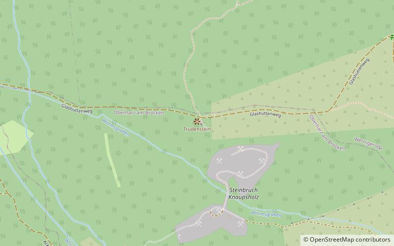
Trudenstein, Harz National Park

Gallery (1)
Map
Map
Facts and practical information
The Trudenstein is a rock formation and popular hiker's destination in the Harz Mountains of central Germany. It is located in the federal state of Saxony-Anhalt. ()
Getting there by public transportation
Public transportation stops near this location
- Bus
- Train
 Bus
Bus
- Calculate routeSchierke 24 min walk
- Calculate routeHohneHof 27 min walk
- Calculate routeHohnepfahl 28 min walk
- Calculate routeSchierke Stern 30 min walk
Day trips


Frequently Asked Questions (FAQ)
Which popular attractions are close to Trudenstein?
Nearby attractions include Hohnekamm, Harz National Park (18 min walk), Erdbeerkopf, Harz National Park (20 min walk), Feuersteinklippe, Wernigerode (24 min walk).
How to get to Trudenstein by public transport?
The nearest stations to Trudenstein:
Train
Bus
Train
- Schierke (24 min walk)
Bus
- HohneHof • Lines: 274 (27 min walk)
- Hohnepfahl • Lines: 274 (28 min walk)