Maria-Hilf-Kirche, Munich
Map
Gallery
Facts and practical information
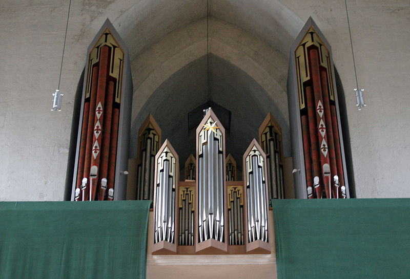
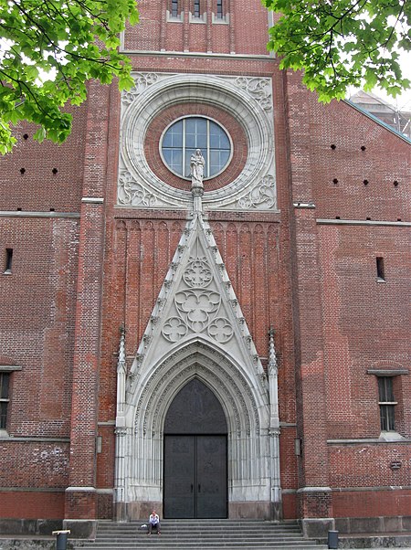
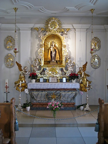
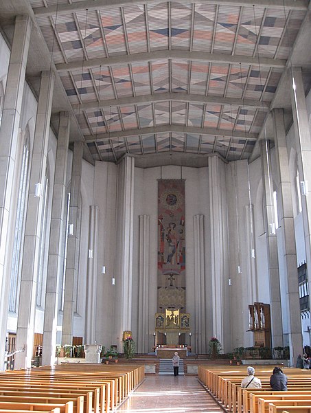
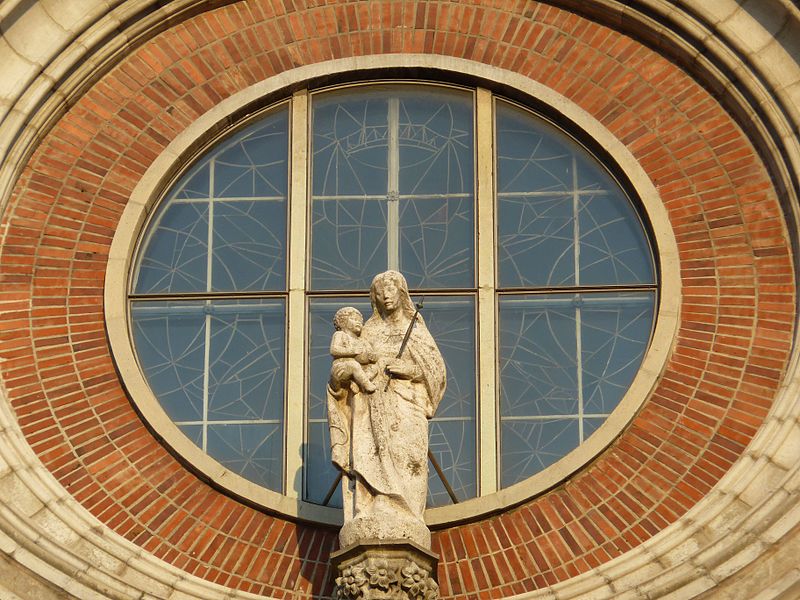
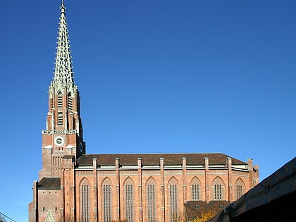
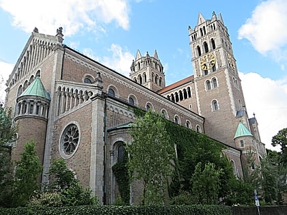
The Catholic parish church Maria Hilf in der Au, called Mariahilfkirche, is the main parish church of Au. It was begun between 1831 and 1839 by Joseph Daniel Ohlmüller and completed by Georg Friedrich Ziebland. The landmark of the Au is considered an archetype of the neo-Gothic church building of the 19th century. It is one of Munich's three "neo-Gothic siblings," the Heilig-Kreuz-Kirche and St. Johann Baptist, all three of which share a similar monumental brick architectural style and are located east of the Isar River.
Day trips
Maria-Hilf-Kirche – popular in the area (distance from the attraction)
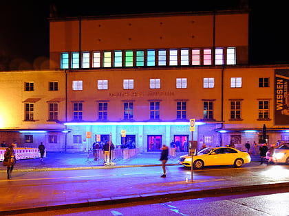
Nearby attractions include: Deutsches Museum, Blitz Club, St. Lukas, Wittelsbacherbrücke.
Frequently Asked Questions (FAQ)
Which popular attractions are close to Maria-Hilf-Kirche?
Nearby attractions include Mariahilfplatz, Munich (1 min walk), Auer Dult, Munich (1 min walk), Paulaner Brewery, Munich (7 min walk), Deutsches Museum, Munich (8 min walk).
How to get to Maria-Hilf-Kirche by public transport?
The nearest stations to Maria-Hilf-Kirche:
Bus
Tram
Metro
Train
Bus
- Schweigerstraße • Lines: 52, 62 (3 min walk)
- Mariahilfplatz • Lines: 52 (4 min walk)
Tram
- Mariahilfplatz • Lines: 18, N27 (4 min walk)
- Regerplatz • Lines: 25, E7 (6 min walk)
Metro
- Kolumbusplatz • Lines: U1, U2, U7, U8 (13 min walk)
- Fraunhoferstraße • Lines: U1, U2, U7, U8 (14 min walk)
Train
- Rosenheimer Platz (13 min walk)
- Sankt-Martin-Straße (19 min walk)


