Alter Friedhof Alt-Saarbrücken, Saarbrücken
Map

Gallery

Facts and practical information
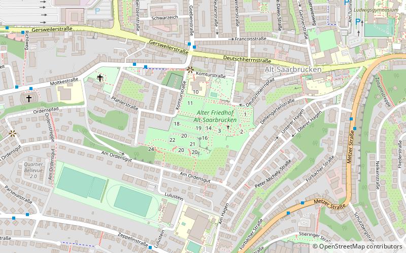
The cemetery is located on a slope in the middle of Alt-Saarbrücken. In the north the Komturstraße as well as the Deutschherrnpfad border the cemetery, in the west the street Bruchschneidersdell, in the east the Friedhofsallee and the Dellengartenstraße and in the south the street Am Ordensgut.
Elevation: 758 ft a.s.l.Coordinates: 49°13'48"N, 6°58'34"E
Day trips
Alter Friedhof Alt-Saarbrücken – popular in the area (distance from the attraction)
Nearby attractions include: Ludwigskirche, Saarbrücken Castle, Europa-Gallerie, Basilica of St. John the Baptist.
Frequently Asked Questions (FAQ)
Which popular attractions are close to Alter Friedhof Alt-Saarbrücken?
Nearby attractions include Old Jewish Cemetery, Saarbrücken (3 min walk), Lulustein, Saarbrücken (4 min walk), Ludwigskirche, Saarbrücken (13 min walk), Deutsch-Französischer Garten, Saarbrücken (15 min walk).
How to get to Alter Friedhof Alt-Saarbrücken by public transport?
The nearest stations to Alter Friedhof Alt-Saarbrücken:
Bus
Train
Tram
Bus
- Deutschherrnstraße • Lines: 109, 121 (5 min walk)
- Schutzbergstraße • Lines: 106, 107, 123 (7 min walk)
Train
- Südbahnhof (14 min walk)
- Nordbahnhof (18 min walk)
Tram
- Ludwigstraße (20 min walk)
- Trierer Straße (22 min walk)


