Christ Church, Mönchengladbach
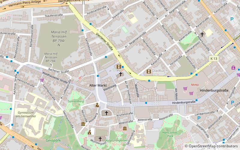
Map
Map

Facts and practical information
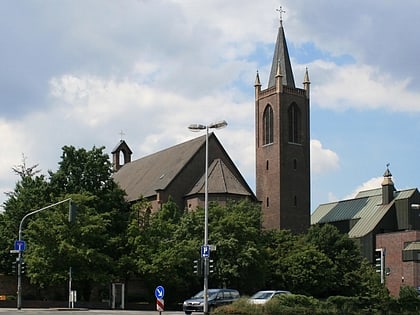
The Protestant Christuskirche is located in Mönchengladbach in the Gladbach district, Kapuzinerstraße 46.
The building was built in 1845-1852. Since 1953 it has been called "Christuskirche", previously simply "evangelical church". It was entered in the monument list of the city of Mönchengladbach under No. K 017 on December 4, 1984.
Coordinates: 51°11'43"N, 6°25'59"E
Day trips
Christ Church – popular in the area (distance from the attraction)
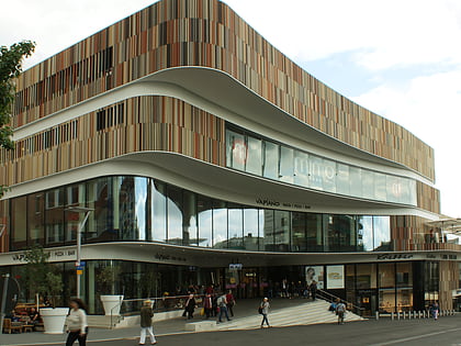
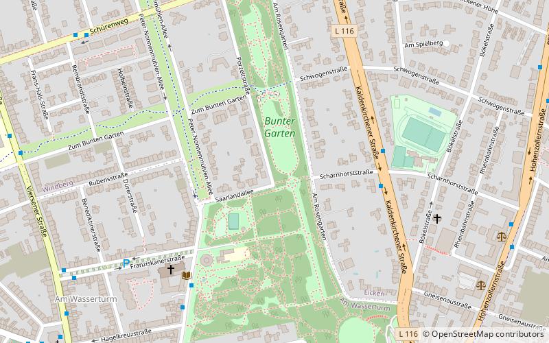
Nearby attractions include: Museum Abteiberg, Minto, Basilica of St. Vitus, Wasserturm Mönchengladbach.
Frequently Asked Questions (FAQ)
Which popular attractions are close to Christ Church?
Nearby attractions include Galerie Börgmann, Mönchengladbach (2 min walk), Museum Abteiberg, Mönchengladbach (5 min walk), Basilica of St. Vitus, Mönchengladbach (6 min walk), Filmfigurenausstellung, Mönchengladbach (10 min walk).
How to get to Christ Church by public transport?
The nearest stations to Christ Church:
Bus
Train
Bus
- Stadtverwaltung • Lines: 003, 007, 023 (1 min walk)
- Alter Markt • Lines: 003, 009, 010, 013, 019, 023 (2 min walk)
Train
- Mönchengladbach Hbf (15 min walk)
