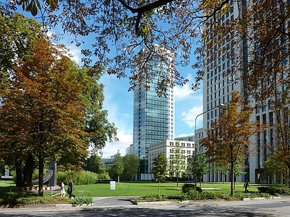
Botanical Garden, Frankfurt
Map
Gallery
Facts and practical information
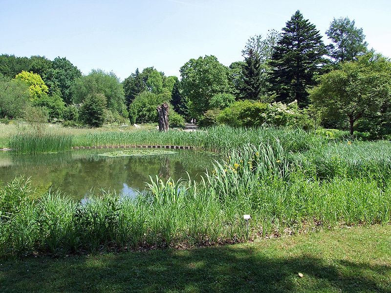
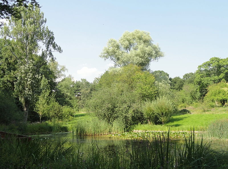
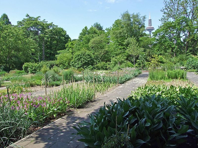
The Botanischer Garten Frankfurt am Main is a botanical garden and arboretum formerly maintained by the Goethe University and since 2012 administered by the City of Frankfurt. It is located at Siesmayerstraße 72, Frankfurt am Main, Germany, and opens daily in the warmer months. ()
Local name: Botanischer Garten Area: 2.7 mi²Elevation: 377 ft a.s.l.Coordinates: 50°7'38"N, 8°39'29"E
Address
Siesmayerstraße 72Innenstadt (Westend-Nord)Frankfurt
Contact
+49 69 21 27 78 84
Social media
Add
Day trips
Botanical Garden – popular in the area (distance from the attraction)
Nearby attractions include: Naturmuseum Senckenberg, Palmengarten, Hochstraße, Opernplatz.
Frequently Asked Questions (FAQ)
Which popular attractions are close to Botanical Garden?
Nearby attractions include Grüneburgpark, Frankfurt (4 min walk), Palmengarten, Frankfurt (8 min walk), Papageno-Theater, Frankfurt (11 min walk), IG Farben Building, Frankfurt (11 min walk).
How to get to Botanical Garden by public transport?
The nearest stations to Botanical Garden:
Bus
Tram
Metro
Train
Bus
- Botanischer Garten • Lines: 75, M32 (6 min walk)
- Siesmayerstraße • Lines: 75 (8 min walk)
Tram
- Juliusstraße • Lines: 16 (13 min walk)
- Frauenfriedenskirche • Lines: 16 (14 min walk)
Metro
- Bockenheimer Warte • Lines: U4, U6, U7 (15 min walk)
- Leipziger Straße • Lines: U6, U7 (17 min walk)
Train
- Frankfurt West (26 min walk)
- Taunusanlage (27 min walk)


