Hagenmarkt, Brunswick
Map

Map

Facts and practical information
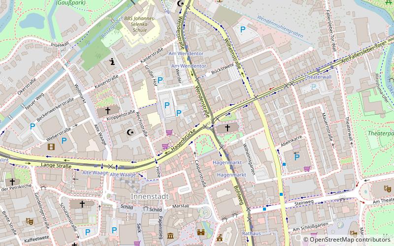
The Hagenmarkt is the central square of the Braunschweig Weichbild Hagen. It can be reached via Wendenstraße, Fallersleber Straße, Casparistraße, Hagenbrücke and Bohlweg.
Elevation: 240 ft a.s.l.Coordinates: 52°16'4"N, 10°31'26"E
Day trips
Hagenmarkt – popular in the area (distance from the attraction)
Nearby attractions include: Dankwarderode Castle, Brunswick Cathedral, Brunswick Lion, Herzog Anton Ulrich Museum.
Frequently Asked Questions (FAQ)
Which popular attractions are close to Hagenmarkt?
Nearby attractions include Heinrichsbrunnen, Brunswick (1 min walk), St. Katharinen, Brunswick (2 min walk), Heinrich Kielhorn Relief, Brunswick (3 min walk), St. Andreas, Brunswick (5 min walk).
How to get to Hagenmarkt by public transport?
The nearest stations to Hagenmarkt:
Tram
Bus
Train
Tram
- Hagenmarkt • Lines: 1, 10, 2, 3, 4 (3 min walk)
- Am Wendentor • Lines: 1, 10, 2 (4 min walk)
Bus
- Rathaus • Lines: 230, 411, 412, 413, 416, 418, 420, 422, 423, 450, 480, 493, 560, 601, 620, 730 (8 min walk)
Train
- Braunschweig Hauptbahnhof (33 min walk)
- Braunschweig-Gliesmarode (33 min walk)


