Am Sande, Lüneburg
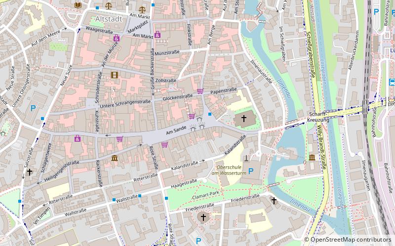
Map

Map

Facts and practical information
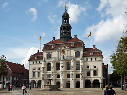
Am Sande square is located in the city center of Lüneburg. It is surrounded by predominantly medieval town houses with their Gothic stepped and curved Baroque scroll gables. The source of the IDs and the descriptions is the Denkmalatlas Niedersachsen. The status of the list is December 19, 2021.
Coordinates: 53°14'52"N, 10°24'39"E
Address
Lüneburg
ContactAdd
Social media
Add
Day trips
Am Sande – popular in the area (distance from the attraction)
Nearby attractions include: St. John's Church, Lüneburg Water Tower, St. Michaelis, Kalkberg.
Frequently Asked Questions (FAQ)
Which popular attractions are close to Am Sande?
Nearby attractions include St. John's Church, Lüneburg (3 min walk), Lüneburg Water Tower, Lüneburg (3 min walk), Ostpreußisches Landesmuseum, Lüneburg (5 min walk), St. Mary's Church, Lüneburg (5 min walk).
How to get to Am Sande by public transport?
The nearest stations to Am Sande:
Bus
Train
Bus
- Am Sande • Lines: 5002, 5003, 5005, 5007, 5009, 5011, 5012, 5013, 5014, 5015, 5100, 5110, 5200, 5201, 5600, 5700, 5900 (1 min walk)
- Wallstraße • Lines: 5002, 5003, 5005, 5007, 5009, 5011, 5013, 5014, 5015, 5200, 5600, 5700 (5 min walk)
Train
- Lüneburg (11 min walk)
- Lüneburg Nord (17 min walk)


