Museum Lüneburg, Lüneburg
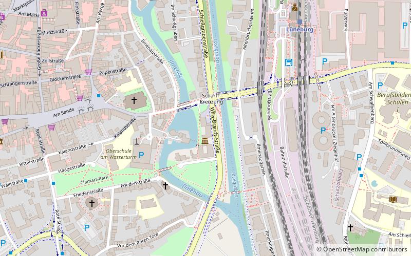
Map

Map

Facts and practical information
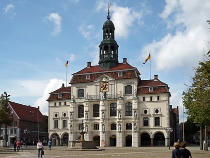
The Museum Lüneburg deals with the cultural landscape of the Hanseatic city of Lüneburg in Lower Saxony and its surroundings. Exhibits of natural history, cultural history and archaeology are presented. The collection focuses on the 15th and 16th centuries.
Coordinates: 53°14'50"N, 10°24'57"E
Address
Lüneburg
ContactAdd
Social media
Add
Day trips
Museum Lüneburg – popular in the area (distance from the attraction)
Nearby attractions include: St. John's Church, Lüneburg Water Tower, St. Michaelis, Kalkberg.
Frequently Asked Questions (FAQ)
Which popular attractions are close to Museum Lüneburg?
Nearby attractions include Lüneburg Water Tower, Lüneburg (4 min walk), St. John's Church, Lüneburg (4 min walk), St. Mary's Church, Lüneburg (7 min walk), Alter Kran, Lüneburg (8 min walk).
How to get to Museum Lüneburg by public transport?
The nearest stations to Museum Lüneburg:
Bus
Train
Bus
- Bf. Lüneburg (5 min walk)
- Am Sande • Lines: 5002, 5003, 5005, 5007, 5009, 5011, 5012, 5013, 5014, 5015, 5100, 5110, 5200, 5201, 5600, 5700, 5900 (6 min walk)
Train
- Lüneburg (7 min walk)
- Lüneburg Nord (14 min walk)


