Kleiner Kiel, Kiel
Map

Map

Facts and practical information
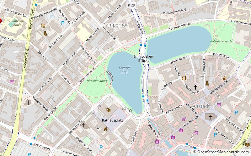
The Small Kiel is a shallow inland water in the state capital Kiel, which is divided into two parts by a bridge. Due to its connection to the Kiel Fjord, the Kleiner Kiel is a brackish water.
Coordinates: 54°19'28"N, 10°8'4"E
Address
Mitte (Altstadt)Kiel
ContactAdd
Social media
Add
Day trips
Kleiner Kiel – popular in the area (distance from the attraction)
Nearby attractions include: Kieler Yacht-Club, Hörn Bridge, Kiel Castle, Alter Botanischer Garten.
Frequently Asked Questions (FAQ)
Which popular attractions are close to Kleiner Kiel?
Nearby attractions include Theater Kiel, Kiel (3 min walk), Opernhaus, Kiel (3 min walk), Sankt Nikolai zu Kiel, Kiel (7 min walk), Stadtmuseum Warleberger Hof, Kiel (7 min walk).
How to get to Kleiner Kiel by public transport?
The nearest stations to Kleiner Kiel:
Bus
Ferry
Train
Bus
- Martensdamm • Lines: 11, 11N, 12, 12N, 13, 22N, 60S, 744, 81, 91 (3 min walk)
- Rathaus / Opernhaus • Lines: 14, 14N, 15, 71, 72 (3 min walk)
Ferry
- Kiel Schwedenkai • Lines: Göteborg - Kiel, Kiel - Göteborg (11 min walk)
- Kiel Norwegenkai • Lines: Oslo - Kiel (15 min walk)
Train
- Kiel Hauptbahnhof (20 min walk)
- Kiel Schulen am Langsee (38 min walk)


